Area Overview for WD3 5NP
Photos of WD3 5NP
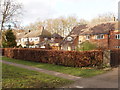
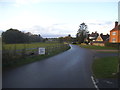
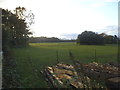
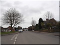
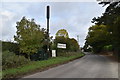
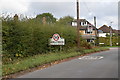

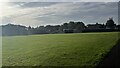
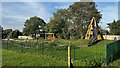
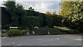
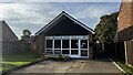
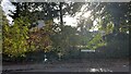
32 photos from this area
Area Information
Key information about the WD3 5NP including its size, population, and administrative classification.
- Area Type
- Postcode
- Area Size
- 2.9 hectares
- Population
- 1451
- Population Density
- 1671 people/km²
House Prices in WD3 5NP
23
Properties
£973,859
Average Sold Price
£220,000
Lowest Price
£1,515,000
Highest Price
Showing 23 properties
| Address | Type | Beds | Baths | Last Sale Price | Last Sale Date | |
|---|---|---|---|---|---|---|
| Little Peppers, 28 Shire Lane, Chorleywood, WD3 5NP | house | - | - | £1,025,000 | Apr 2025 | |
| Cartref, 24 Shire Lane, Chorleywood, WD3 5NP | Detached | 4 | 3 | £1,500,000 | Dec 2022 | |
| 48 Shire Lane, Chorleywood, WD3 5NP | house | - | - | £1,156,211 | Jun 2021 | |
| Knights Acre, Shire Lane, Chorleywood, WD3 5NP | Detached | 4 | 1 | £1,255,000 | Dec 2020 | |
| 39 Shire Lane, Chorleywood, WD3 5NP | house | - | - | £1,161,100 | Jul 2018 | |
| 33 Shire Lane, Chorleywood, WD3 5NP | Detached | 4 | - | £1,250,000 | Dec 2016 | |
| Limewood, 47 Shire Lane, Chorleywood, WD3 5NP | house | - | - | £1,515,000 | Aug 2015 | |
| 45 Shire Lane, Chorleywood, WD3 5NP | house | - | - | £1,375,000 | Jul 2014 | |
| 37 Shire Lane, Chorleywood, WD3 5NP | Detached | 4 | 1 | £865,000 | Sep 2013 | |
| High Hedges, 25 Shire Lane, Chorleywood, WD3 5NP | house | 4 | - | £950,000 | Dec 2012 |
Page 1 of 3
Energy Efficiency in WD3 5NP
Amenities
Schools
| Rank | School | Type | Entry gender | Ages |
|---|
Explore more schools in this area
Go to Schools tabDemographics
Household Size
Family (3-5 people)
most common
Accommodation Type
Houses
most common
Tenure
89
majority
Ethnic Group
White
most common
Religion
N/A
most common
Household Composition
N/A
most common
Age
47
median
Adults (30-64 years)
most common
Household Deprivation
N/A
with no deprivation
NS-SEC
60
in Lower managerial occupations
Explore more demographic insights in this area
Go to Demographics tabPlanning
Planning Constraints
- Flood RiskPremium
- Ramsar Wetland SitesPremium
- Area of Outstanding Natural BeautyPremium
- Protected Nature ReservePremium
- Protected WoodlandPremium