Area Overview for WD3 3PD
Photos of WD3 3PD
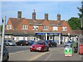
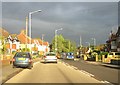
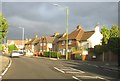
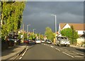
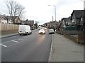
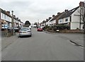
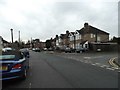
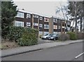
70 photos from this area
Area Information
Key information about the WD3 3PD including its size, population, and administrative classification.
- Area Type
- Postcode
- Area Size
- 8894 m²
- Population
- 1399
- Population Density
- 5594 people/km²
House Prices in WD3 3PD
27
Properties
£419,676
Average Sold Price
£111,000
Lowest Price
£795,000
Highest Price
Showing 27 properties
| Address | Type | Beds | Baths | Last Sale Price | Last Sale Date | |
|---|---|---|---|---|---|---|
| 37 Rugby Way, Croxley Green, WD3 3PD | Semi-detached | 4 | 2 | £795,000 | Jul 2024 | |
| 17 Rugby Way, Croxley Green, WD3 3PD | Semi-detached | 3 | 2 | £635,000 | Apr 2023 | |
| 27 Rugby Way, Croxley Green, WD3 3PD | Retail | 3 | 1 | £655,000 | Apr 2022 | |
| 9 Rugby Way, Croxley Green, WD3 3PD | Semi-detached | 3 | 2 | £610,000 | Apr 2020 | |
| 35 Rugby Way, Croxley Green, WD3 3PD | Semi-detached | 4 | 2 | £565,000 | Feb 2020 | |
| 49 Rugby Way, Croxley Green, WD3 3PD | Semi-detached | 4 | 2 | £645,000 | Mar 2019 | |
| 53 Rugby Way, Croxley Green, WD3 3PD | Bungalow | 3 | 1 | £525,000 | Jul 2017 | |
| 43 Rugby Way, Croxley Green, WD3 3PD | Semi-detached | 4 | 2 | £570,000 | Oct 2015 | |
| 21 Rugby Way, Croxley Green, WD3 3PD | house | - | - | £415,000 | Jul 2015 | |
| 29 Rugby Way, Croxley Green, WD3 3PD | Retail | 4 | 2 | £295,000 | Nov 2006 |
Page 1 of 3
Energy Efficiency in WD3 3PD
Amenities
Schools
| Rank | School | Type | Entry gender | Ages |
|---|
Explore more schools in this area
Go to Schools tabDemographics
Household Size
Family (3-5 people)
most common
Accommodation Type
Houses
most common
Tenure
88
majority
Ethnic Group
White
most common
Religion
N/A
most common
Household Composition
N/A
most common
Age
47
median
Adults (30-64 years)
most common
Household Deprivation
N/A
with no deprivation
NS-SEC
43
in Lower managerial occupations
Explore more demographic insights in this area
Go to Demographics tabPlanning
Planning Constraints
- Flood RiskPremium
- Ramsar Wetland SitesPremium
- Area of Outstanding Natural BeautyPremium
- Protected Nature ReservePremium
- Protected WoodlandPremium