Area Overview for WD3 3HB
Photos of WD3 3HB
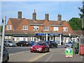
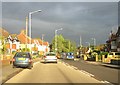
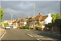
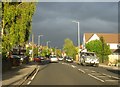

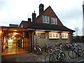
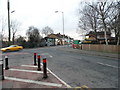
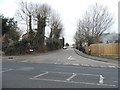
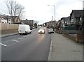
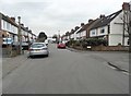
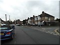
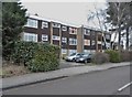
70 photos from this area
Area Information
Key information about the WD3 3HB including its size, population, and administrative classification.
- Area Type
- Postcode
- Area Size
- 7996 m²
- Population
- 1661
- Population Density
- 5482 people/km²
House Prices in WD3 3HB
23
Properties
£294,063
Average Sold Price
£80,000
Lowest Price
£500,000
Highest Price
Showing 23 properties
| Address | Type | Beds | Baths | Last Sale Price | Last Sale Date | |
|---|---|---|---|---|---|---|
| 149 New Road, Croxley Green, WD3 3HB | Terraced | 2 | 1 | £500,000 | Jul 2025 | |
| 3, Allotment View, New Road, Croxley Green, WD3 3HB | Semi-detached | 2 | 2 | £440,000 | Mar 2025 | |
| 181 New Road, Croxley Green, WD3 3HB | house | - | - | £445,000 | Apr 2021 | |
| 155 New Road, Croxley Green, WD3 3HB | Terraced | 2 | 1 | £400,000 | Jul 2020 | |
| 161 New Road, Croxley Green, WD3 3HB | Cottage | 2 | 2 | £375,000 | Jun 2019 | |
| 1, Allotment View, New Road, Croxley Green, WD3 3HB | Semi-detached | 2 | 1 | £400,000 | May 2019 | |
| 153 New Road, Croxley Green, WD3 3HB | Terraced | 2 | 1 | £382,500 | Oct 2018 | |
| 159 New Road, Croxley Green, WD3 3HB | Cottage | 2 | 1 | £372,000 | Mar 2016 | |
| 165A New Road, Croxley Green, WD3 3HB | Semi-detached | 2 | 1 | £205,000 | Jun 2014 | |
| 179 New Road, Croxley Green, WD3 3HB | house | - | - | £320,000 | Nov 2013 |
Page 1 of 3
Energy Efficiency in WD3 3HB
Amenities
Schools
| Rank | School | Type | Entry gender | Ages |
|---|
Explore more schools in this area
Go to Schools tabDemographics
Household Size
Family (3-5 people)
most common
Accommodation Type
Houses
most common
Tenure
72
majority
Ethnic Group
White
most common
Religion
N/A
most common
Household Composition
N/A
most common
Age
47
median
Adults (30-64 years)
most common
Household Deprivation
N/A
with no deprivation
NS-SEC
45
in Lower managerial occupations
Explore more demographic insights in this area
Go to Demographics tabPlanning
Planning Constraints
- Flood RiskPremium
- Ramsar Wetland SitesPremium
- Area of Outstanding Natural BeautyPremium
- Protected Nature ReservePremium
- Protected WoodlandPremium