Area Overview for WD3 1NG
Photos of WD3 1NG
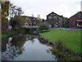
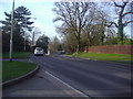
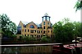
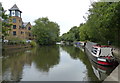
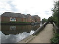
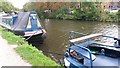
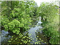
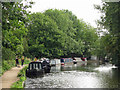
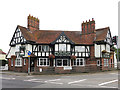
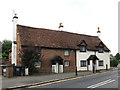
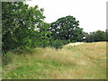
51 photos from this area
Area Information
Key information about the WD3 1NG including its size, population, and administrative classification.
- Area Type
- Postcode
- Area Size
- 1.1 hectares
- Population
- 1448
- Population Density
- 225 people/km²
House Prices in WD3 1NG
16
Properties
£588,369
Average Sold Price
£127,000
Lowest Price
£950,000
Highest Price
Showing 16 properties
| Address | Type | Beds | Baths | Last Sale Price | Last Sale Date | |
|---|---|---|---|---|---|---|
| 3 Landford Close, Rickmansworth, WD3 1NG | Retail | 3 | 2 | £840,000 | May 2022 | |
| 15 Landford Close, Rickmansworth, WD3 1NG | house | - | - | £900,000 | Jan 2022 | |
| 1 Landford Close, Rickmansworth, WD3 1NG | Semi-detached | 3 | 1 | £695,000 | Nov 2017 | |
| 6 Landford Close, Rickmansworth, WD3 1NG | Semi-detached | 5 | 4 | £950,000 | Oct 2016 | |
| 10 Landford Close, Rickmansworth, WD3 1NG | house | 3 | - | £475,000 | Mar 2012 | |
| 2 Landford Close, Rickmansworth, WD3 1NG | Semi-detached | 4 | 2 | £490,000 | Feb 2007 | |
| 11 Landford Close, Rickmansworth, WD3 1NG | Semi-detached | - | - | £229,950 | Jul 2000 | |
| 12 Landford Close, Rickmansworth, WD3 1NG | Semi-detached | - | - | £127,000 | Feb 1997 | |
| 5 Landford Close, Rickmansworth, WD3 1NG | Semi-detached | - | - | - | - | |
| 16 Landford Close, Rickmansworth, WD3 1NG | Detached | - | - | - | - |
Page 1 of 2
Energy Efficiency in WD3 1NG
Amenities
Schools
| Rank | School | Type | Entry gender | Ages |
|---|
Explore more schools in this area
Go to Schools tabDemographics
Household Size
Two person
most common
Accommodation Type
Houses
most common
Tenure
87
majority
Ethnic Group
White
most common
Religion
N/A
most common
Household Composition
N/A
most common
Age
47
median
Adults (30-64 years)
most common
Household Deprivation
N/A
with no deprivation
NS-SEC
50
in Lower managerial occupations
Explore more demographic insights in this area
Go to Demographics tabPlanning
Planning Constraints
- Flood RiskPremium
- Ramsar Wetland SitesPremium
- Area of Outstanding Natural BeautyPremium
- Protected Nature ReservePremium
- Protected WoodlandPremium