Area Overview for WD3 1JJ
Photos of WD3 1JJ
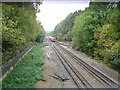
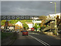
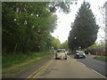
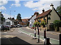
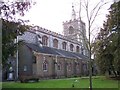
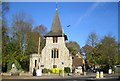
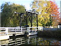
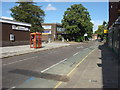
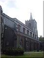
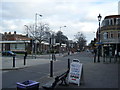
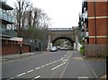
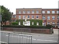
100 photos from this area
Area Information
Key information about the WD3 1JJ including its size, population, and administrative classification.
- Area Type
- Postcode
- Area Size
- 3.6 hectares
- Population
- 1577
- Population Density
- 3168 people/km²
House Prices in WD3 1JJ
67
Properties
£236,250
Average Sold Price
£12,500
Lowest Price
£460,000
Highest Price
Showing 67 properties
| Address | Type | Beds | Baths | Last Sale Price | Last Sale Date | |
|---|---|---|---|---|---|---|
| 117 Church Street, Rickmansworth, WD3 1JJ | house | 3 | 1 | £460,000 | Aug 2021 | |
| The Island, Church Street, Rickmansworth, WD3 1JJ | Detached | - | - | £12,500 | Oct 2018 | |
| Houseboat Lindford Badger, Batchworth Lock, Church Street, Rickmansworth, WD3 1JJ | Houseboat | - | - | - | - | |
| Houseboat, Batchworth Lock, Church Street, Rickmansworth, WD3 1JJ | Houseboat | - | - | - | - | |
| Houseboat Starburst, Batchworth Lock, Church Street, Rickmansworth, WD3 1JJ | Houseboat | - | - | - | - | |
| Houseboat Crete, Batchworth Lock, Church Street, Rickmansworth, WD3 1JJ | Houseboat | - | - | - | - | |
| Houseboat Sagar, Batchworth Lock, Church Street, Rickmansworth, WD3 1JJ | Houseboat | - | - | - | - | |
| Houseboat Turtle, Batchworth Lock, Church Street, Rickmansworth, WD3 1JJ | Houseboat | - | - | - | - | |
| Houseboat Marjorie A, Batchworth Lock, Church Street, Rickmansworth, WD3 1JJ | Houseboat | - | - | - | - | |
| Gypsey Dragon Grand U C, Batchworth Lock, Church Street, Rickmansworth, WD3 1JJ | Houseboat | - | - | - | - |
Page 1 of 7
Energy Efficiency in WD3 1JJ
Amenities
Schools
| Rank | School | Type | Entry gender | Ages |
|---|
Explore more schools in this area
Go to Schools tabDemographics
Household Size
One person
most common
Accommodation Type
Flats
most common
Tenure
47
majority
Ethnic Group
White
most common
Religion
N/A
most common
Household Composition
N/A
most common
Age
47
median
Adults (30-64 years)
most common
Household Deprivation
N/A
with no deprivation
NS-SEC
49
in Lower managerial occupations
Explore more demographic insights in this area
Go to Demographics tabPlanning
Planning Constraints
- Flood RiskPremium
- Ramsar Wetland SitesPremium
- Area of Outstanding Natural BeautyPremium
- Protected Nature ReservePremium
- Protected WoodlandPremium