Area Overview for WD24 6RH
Photos of WD24 6RH
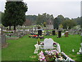
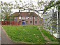
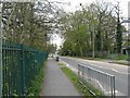
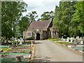
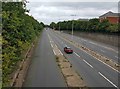
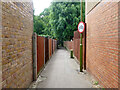
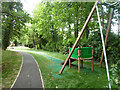
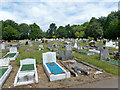
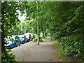
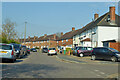

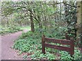
15 photos from this area
Area Information
Key information about the WD24 6RH including its size, population, and administrative classification.
- Area Type
- Postcode
- Area Size
- 3957 m²
- Population
- 1714
- Population Density
- 7244 people/km²
House Prices in WD24 6RH
12
Properties
£236,050
Average Sold Price
£105,000
Lowest Price
£420,000
Highest Price
Showing 12 properties
| Address | Type | Beds | Baths | Last Sale Price | Last Sale Date | |
|---|---|---|---|---|---|---|
| 29 Hazel Tree Road, Watford, WD24 6RH | Semi-detached | 3 | 1 | £420,000 | Mar 2018 | |
| 45 Hazel Tree Road, Watford, WD24 6RH | Terraced | - | - | £249,950 | Aug 2010 | |
| 43 Hazel Tree Road, Watford, WD24 6RH | house | - | - | £269,500 | Aug 2008 | |
| 37 Hazel Tree Road, Watford, WD24 6RH | Terraced | - | - | £285,000 | Jan 2008 | |
| 27 Hazel Tree Road, Watford, WD24 6RH | Detached | 3 | 2 | £213,000 | Mar 2006 | |
| 47 Hazel Tree Road, Watford, WD24 6RH | house | - | - | £213,000 | May 2005 | |
| 33 Hazel Tree Road, Watford, WD24 6RH | Terraced | - | - | £193,000 | Jan 2003 | |
| 25 Hazel Tree Road, Watford, WD24 6RH | Flat | 1 | 1 | £176,000 | Dec 2001 | |
| 41 Hazel Tree Road, Watford, WD24 6RH | Terraced | - | - | £105,000 | Jan 1998 | |
| 39 Hazel Tree Road, Watford, WD24 6RH | house | 3 | 1 | - | - |
Page 1 of 2
Energy Efficiency in WD24 6RH
Amenities
Schools
| Rank | School | Type | Entry gender | Ages |
|---|
Explore more schools in this area
Go to Schools tabDemographics
Household Size
Family (3-5 people)
most common
Accommodation Type
Houses
most common
Tenure
74
majority
Ethnic Group
White
most common
Religion
N/A
most common
Household Composition
N/A
most common
Age
47
median
Adults (30-64 years)
most common
Household Deprivation
N/A
with no deprivation
NS-SEC
32
in Lower managerial occupations
Explore more demographic insights in this area
Go to Demographics tabPlanning
Planning Constraints
- Flood RiskPremium
- Ramsar Wetland SitesPremium
- Area of Outstanding Natural BeautyPremium
- Protected Nature ReservePremium
- Protected WoodlandPremium