Area Overview for WD24 6PD
Photos of WD24 6PD
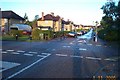
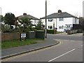
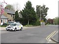
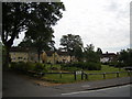
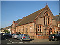
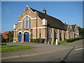
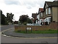
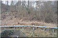
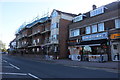
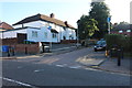
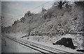
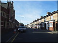
19 photos from this area
Area Information
Key information about the WD24 6PD including its size, population, and administrative classification.
- Area Type
- Postcode
- Area Size
- 1.0 hectares
- Population
- 1837
- Population Density
- 9278 people/km²
House Prices in WD24 6PD
29
Properties
£272,136
Average Sold Price
£140,000
Lowest Price
£400,000
Highest Price
Showing 29 properties
| Address | Type | Beds | Baths | Last Sale Price | Last Sale Date | |
|---|---|---|---|---|---|---|
| 303 St Albans Road, Watford, WD24 6PD | Terraced | 3 | 1 | £400,000 | Apr 2023 | |
| 283 St Albans Road, Watford, WD24 6PD | Terraced | 3 | 1 | £385,000 | Jun 2016 | |
| 317 St Albans Road, Watford, WD24 6PD | Terraced | 3 | - | £266,950 | Jun 2014 | |
| 285 St Albans Road, Watford, WD24 6PD | house | - | - | £218,000 | May 2011 | |
| 319 St Albans Road, Watford, WD24 6PD | house | - | - | £249,000 | Nov 2008 | |
| 297 St Albans Road, Watford, WD24 6PD | Terraced | - | - | £246,000 | Feb 2007 | |
| 295 St Albans Road, Watford, WD24 6PD | Terraced | - | - | £140,000 | Oct 2002 | |
| 5, Silver Birch Lodge, 279 St Albans Road, Watford, WD24 6PD | Flat | - | - | - | - | |
| 287 St Albans Road, Watford, WD24 6PD | house | - | - | - | - | |
| 313A St Albans Road, Watford, WD24 6PD | Flat | - | - | - | - |
Page 1 of 3
Energy Efficiency in WD24 6PD
Amenities
Schools
| Rank | School | Type | Entry gender | Ages |
|---|
Explore more schools in this area
Go to Schools tabDemographics
Household Size
Family (3-5 people)
most common
Accommodation Type
Houses
most common
Tenure
46
majority
Ethnic Group
White
most common
Religion
N/A
most common
Household Composition
N/A
most common
Age
47
median
Adults (30-64 years)
most common
Household Deprivation
N/A
with no deprivation
NS-SEC
24
in Lower managerial occupations
Explore more demographic insights in this area
Go to Demographics tabPlanning
Planning Constraints
- Flood RiskPremium
- Ramsar Wetland SitesPremium
- Area of Outstanding Natural BeautyPremium
- Protected Nature ReservePremium
- Protected WoodlandPremium