Area Overview for WD24 5LF
Photos of WD24 5LF


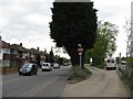
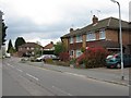
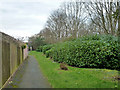
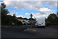
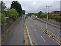
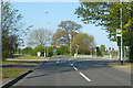
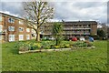
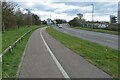
26 photos from this area
Area Information
Key information about the WD24 5LF including its size, population, and administrative classification.
- Area Type
- Postcode
- Area Size
- 1.4 hectares
- Population
- 1892
- Population Density
- 6341 people/km²
House Prices in WD24 5LF
28
Properties
£353,461
Average Sold Price
£94,000
Lowest Price
£557,000
Highest Price
Showing 28 properties
| Address | Type | Beds | Baths | Last Sale Price | Last Sale Date | |
|---|---|---|---|---|---|---|
| 19 Chilcott Road, Watford, WD24 5LF | Semi-detached | 3 | 1 | £452,000 | Feb 2025 | |
| 41 Chilcott Road, Watford, WD24 5LF | Semi-detached | 3 | 2 | £550,000 | Oct 2024 | |
| 49 Chilcott Road, Watford, WD24 5LF | Semi-detached | 3 | 1 | £557,000 | Dec 2022 | |
| 9 Chilcott Road, Watford, WD24 5LF | house | - | - | £470,000 | Mar 2021 | |
| 55 Chilcott Road, Watford, WD24 5LF | Semi-detached | 3 | - | £322,500 | Mar 2021 | |
| 45 Chilcott Road, Watford, WD24 5LF | house | - | - | £422,500 | Jan 2021 | |
| 53 Chilcott Road, Watford, WD24 5LF | house | - | - | £450,000 | Feb 2016 | |
| 17 Chilcott Road, Watford, WD24 5LF | Semi-detached | 4 | 1 | £365,000 | Oct 2014 | |
| 13 Chilcott Road, Watford, WD24 5LF | house | - | - | £275,000 | May 2013 | |
| 21 Chilcott Road, Watford, WD24 5LF | house | 3 | - | £250,000 | Dec 2012 |
Page 1 of 3
Energy Efficiency in WD24 5LF
Amenities
Schools
| Rank | School | Type | Entry gender | Ages |
|---|
Explore more schools in this area
Go to Schools tabDemographics
Household Size
Family (3-5 people)
most common
Accommodation Type
Houses
most common
Tenure
54
majority
Ethnic Group
White
most common
Religion
N/A
most common
Household Composition
N/A
most common
Age
47
median
Adults (30-64 years)
most common
Household Deprivation
N/A
with no deprivation
NS-SEC
32
in Lower managerial occupations
Explore more demographic insights in this area
Go to Demographics tabPlanning
Planning Constraints
- Flood RiskPremium
- Ramsar Wetland SitesPremium
- Area of Outstanding Natural BeautyPremium
- Protected Nature ReservePremium
- Protected WoodlandPremium