Area Overview for WD24 4ET
Photos of WD24 4ET

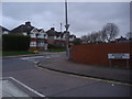

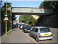

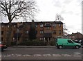
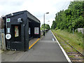


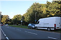
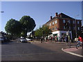
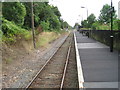
17 photos from this area
Area Information
Key information about the WD24 4ET including its size, population, and administrative classification.
- Area Type
- Postcode
- Area Size
- 1.1 hectares
- Population
- 1678
- Population Density
- 2727 people/km²
House Prices in WD24 4ET
44
Properties
£339,816
Average Sold Price
£78,000
Lowest Price
£570,000
Highest Price
Showing 44 properties
| Address | Type | Beds | Baths | Last Sale Price | Last Sale Date | |
|---|---|---|---|---|---|---|
| 102 Balmoral Road, Watford, WD24 4ET | Detached | 3 | 2 | £520,000 | Sep 2025 | |
| 124 Balmoral Road, Watford, WD24 4ET | Semi-detached | 2 | 1 | £467,500 | Jul 2024 | |
| 120 Balmoral Road, Watford, WD24 4ET | Semi-detached | 2 | 1 | £475,000 | Jun 2024 | |
| 70 Balmoral Road, Watford, WD24 4ET | Semi-detached | 3 | 1 | £455,000 | Mar 2024 | |
| 68 Balmoral Road, Watford, WD24 4ET | Semi-detached | 3 | 1 | £550,000 | Nov 2022 | |
| 82 Balmoral Road, Watford, WD24 4ET | Semi-detached | 3 | 1 | £495,000 | Jun 2022 | |
| 80 Balmoral Road, Watford, WD24 4ET | house | 5 | - | £570,000 | Oct 2021 | |
| 94 Balmoral Road, Watford, WD24 4ET | house | - | - | £420,000 | Mar 2021 | |
| 116 Balmoral Road, Watford, WD24 4ET | house | 2 | 1 | £365,000 | Nov 2020 | |
| 118 Balmoral Road, Watford, WD24 4ET | house | 3 | - | £410,000 | Aug 2019 |
Page 1 of 5
Energy Efficiency in WD24 4ET
Amenities
Schools
| Rank | School | Type | Entry gender | Ages |
|---|
Explore more schools in this area
Go to Schools tabDemographics
Household Size
Two person
most common
Accommodation Type
Flats
most common
Tenure
57
majority
Ethnic Group
White
most common
Religion
N/A
most common
Household Composition
N/A
most common
Age
47
median
Adults (30-64 years)
most common
Household Deprivation
N/A
with no deprivation
NS-SEC
47
in Lower managerial occupations
Explore more demographic insights in this area
Go to Demographics tabPlanning
Planning Constraints
- Flood RiskPremium
- Ramsar Wetland SitesPremium
- Area of Outstanding Natural BeautyPremium
- Protected Nature ReservePremium
- Protected WoodlandPremium