Area Overview for WD18 7SS
Photos of WD18 7SS
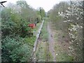
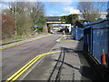
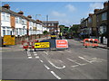
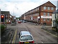
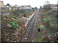
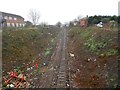
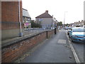
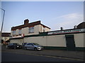
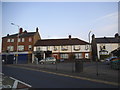
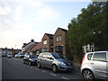
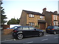
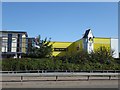
52 photos from this area
Area Information
Key information about the WD18 7SS including its size, population, and administrative classification.
- Area Type
- Postcode
- Area Size
- 4567 m²
- Population
- 1238
- Population Density
- 7694 people/km²
House Prices in WD18 7SS
26
Properties
£308,631
Average Sold Price
£83,250
Lowest Price
£475,000
Highest Price
Showing 26 properties
| Address | Type | Beds | Baths | Last Sale Price | Last Sale Date | |
|---|---|---|---|---|---|---|
| 286 Hagden Lane, Watford, WD18 7SS | Terraced | 4 | 1 | £399,950 | Mar 2025 | |
| 218 Hagden Lane, Watford, WD18 7SS | house | - | - | £400,000 | Jun 2021 | |
| 228 Hagden Lane, Watford, WD18 7SS | Semi-detached | 3 | 1 | £351,000 | Aug 2020 | |
| 278 Hagden Lane, Watford, WD18 7SS | Semi-detached | 3 | 1 | £475,000 | Nov 2019 | |
| 226 Hagden Lane, Watford, WD18 7SS | Semi-detached | 3 | 1 | £450,000 | Jan 2018 | |
| 280 Hagden Lane, Watford, WD18 7SS | Semi-detached | 3 | 1 | £300,000 | May 2015 | |
| 224 Hagden Lane, Watford, WD18 7SS | Semi-detached | 5 | 2 | £385,000 | Oct 2013 | |
| 288 Hagden Lane, Watford, WD18 7SS | Terraced | 3 | 1 | £243,000 | Jul 2013 | |
| 232 Hagden Lane, Watford, WD18 7SS | Bungalow | 5 | 3 | £380,000 | May 2013 | |
| 238 Hagden Lane, Watford, WD18 7SS | Terraced | - | - | £260,000 | Nov 2007 |
Page 1 of 3
Energy Efficiency in WD18 7SS
Amenities
Schools
| Rank | School | Type | Entry gender | Ages |
|---|
Explore more schools in this area
Go to Schools tabDemographics
Household Size
Family (3-5 people)
most common
Accommodation Type
Houses
most common
Tenure
55
majority
Ethnic Group
White
most common
Religion
N/A
most common
Household Composition
N/A
most common
Age
47
median
Adults (30-64 years)
most common
Household Deprivation
N/A
with no deprivation
NS-SEC
39
in Lower managerial occupations
Explore more demographic insights in this area
Go to Demographics tabPlanning
Planning Constraints
- Flood RiskPremium
- Ramsar Wetland SitesPremium
- Area of Outstanding Natural BeautyPremium
- Protected Nature ReservePremium
- Protected WoodlandPremium