Area Overview for WD18 7JD
Photos of WD18 7JD
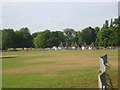
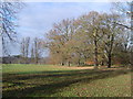
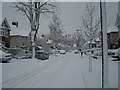
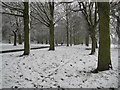

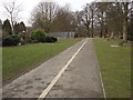
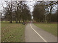
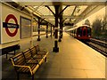
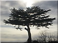
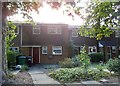
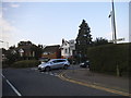
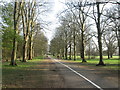
80 photos from this area
Area Information
Key information about the WD18 7JD including its size, population, and administrative classification.
- Area Type
- Postcode
- Area Size
- 1.2 hectares
- Population
- 1679
- Population Density
- 2570 people/km²
House Prices in WD18 7JD
18
Properties
£558,769
Average Sold Price
£236,000
Lowest Price
£960,000
Highest Price
Showing 18 properties
| Address | Type | Beds | Baths | Last Sale Price | Last Sale Date | |
|---|---|---|---|---|---|---|
| 129 Rickmansworth Road, Watford, WD18 7JD | Bungalow | 2 | 2 | £670,000 | Nov 2024 | |
| 127 Rickmansworth Road, Watford, WD18 7JD | Detached | 4 | 1 | £840,000 | Oct 2023 | |
| 105 Rickmansworth Road, Watford, WD18 7JD | Detached | 5 | 3 | £960,000 | Sep 2023 | |
| 109 Rickmansworth Road, Watford, WD18 7JD | Flat | 1 | 1 | £940,000 | Sep 2021 | |
| 119 Rickmansworth Road, Watford, WD18 7JD | Semi-detached | 4 | 2 | £706,000 | Apr 2020 | |
| 95 Rickmansworth Road, Watford, WD18 7JD | Detached | 5 | 2 | £910,000 | Jun 2018 | |
| 125 Rickmansworth Road, Watford, WD18 7JD | house | - | - | £350,000 | Jul 2008 | |
| 107 Rickmansworth Road, Watford, WD18 7JD | Bungalow | - | - | £410,000 | Sep 2006 | |
| 117 Rickmansworth Road, Watford, WD18 7JD | Terraced | - | - | £472,000 | Jun 2004 | |
| 123 Rickmansworth Road, Watford, WD18 7JD | Terraced | - | - | £275,000 | Apr 2004 |
Page 1 of 2
Energy Efficiency in WD18 7JD
Amenities
Schools
| Rank | School | Type | Entry gender | Ages |
|---|
Explore more schools in this area
Go to Schools tabDemographics
Household Size
Family (3-5 people)
most common
Accommodation Type
Houses
most common
Tenure
71
majority
Ethnic Group
White
most common
Religion
N/A
most common
Household Composition
N/A
most common
Age
47
median
Adults (30-64 years)
most common
Household Deprivation
N/A
with no deprivation
NS-SEC
46
in Lower managerial occupations
Explore more demographic insights in this area
Go to Demographics tabPlanning
Planning Constraints
- Flood RiskPremium
- Ramsar Wetland SitesPremium
- Area of Outstanding Natural BeautyPremium
- Protected Nature ReservePremium
- Protected WoodlandPremium