Area Overview for WD18 0JA
Photos of WD18 0JA

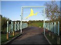
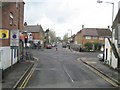
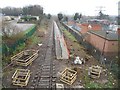
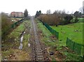
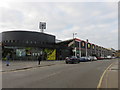
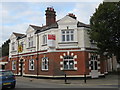
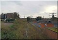
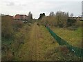
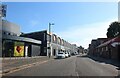
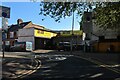
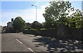
41 photos from this area
Area Information
Key information about the WD18 0JA including its size, population, and administrative classification.
- Area Type
- Postcode
- Area Size
- 5.5 hectares
- Population
- 1742
- Population Density
- 4442 people/km²
House Prices in WD18 0JA
35
Properties
£233,113
Average Sold Price
£117,000
Lowest Price
£381,000
Highest Price
Showing 35 properties
| Address | Type | Beds | Baths | Last Sale Price | Last Sale Date | |
|---|---|---|---|---|---|---|
| 12 Willow Lane, Watford, WD18 0JA | house | 2 | 1 | £381,000 | Sep 2022 | |
| 44 Willow Lane, Watford, WD18 0JA | Terraced | 2 | 2 | £350,000 | Mar 2017 | |
| 26 Willow Lane, Watford, WD18 0JA | Terraced | 3 | 1 | £250,000 | Aug 2014 | |
| 20 Willow Lane, Watford, WD18 0JA | house | 2 | - | £205,000 | Dec 2011 | |
| 42 Willow Lane, Watford, WD18 0JA | house | - | - | £229,950 | Dec 2007 | |
| 6 Willow Lane, Watford, WD18 0JA | house | - | - | £210,000 | Oct 2007 | |
| 24 Willow Lane, Watford, WD18 0JA | Terraced | - | - | £117,000 | Jun 2003 | |
| 28 Willow Lane, Watford, WD18 0JA | house | - | - | £121,950 | Oct 2001 | |
| 3 Willow Lane, Watford, WD18 0JA | Flat | 4 | - | - | - | |
| 1, De Beers House, 56 Willow Lane, Watford, WD18 0JA | Flat | - | 1 | - | - |
Page 1 of 4
Energy Efficiency in WD18 0JA
Amenities
Schools
| Rank | School | Type | Entry gender | Ages |
|---|
Explore more schools in this area
Go to Schools tabDemographics
Household Size
Family (3-5 people)
most common
Accommodation Type
Houses
most common
Tenure
47
majority
Ethnic Group
White
most common
Religion
N/A
most common
Household Composition
N/A
most common
Age
47
median
Adults (30-64 years)
most common
Household Deprivation
N/A
with no deprivation
NS-SEC
37
in Lower managerial occupations
Explore more demographic insights in this area
Go to Demographics tabPlanning
Planning Constraints
- Flood RiskPremium
- Ramsar Wetland SitesPremium
- Area of Outstanding Natural BeautyPremium
- Protected Nature ReservePremium
- Protected WoodlandPremium