Area Overview for WD18 0AH
Photos of WD18 0AH
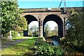
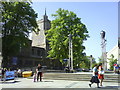
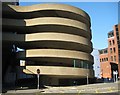
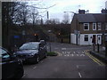
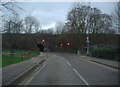
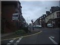
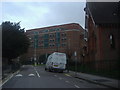
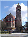
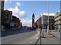
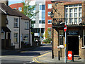
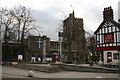
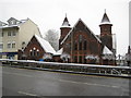
100 photos from this area
Area Information
Key information about the WD18 0AH including its size, population, and administrative classification.
- Area Type
- Postcode
- Area Size
- 8281 m²
- Population
- 2664
- Population Density
- 4487 people/km²
House Prices in WD18 0AH
88
Properties
£377,863
Average Sold Price
£120,000
Lowest Price
£1,100,000
Highest Price
Showing 88 properties
| Address | Type | Beds | Baths | Last Sale Price | Last Sale Date | |
|---|---|---|---|---|---|---|
| 17 Granville Road, Watford, WD18 0AH | house | 3 | 1 | £495,000 | Jul 2022 | |
| 34 Granville Road, Watford, WD18 0AH | house | - | - | £605,000 | Mar 2022 | |
| 29 Granville Road, Watford, WD18 0AH | Unknown | - | - | £1,100,000 | Dec 2018 | |
| 27-29 Granville Road, Watford, WD18 0AH | house | - | - | £1,100,000 | Dec 2018 | |
| 24 Granville Road, Watford, WD18 0AH | Terraced | 5 | 1 | £587,500 | Apr 2018 | |
| 14 Granville Road, Watford, WD18 0AH | house | 3 | - | £280,000 | Jan 2014 | |
| 11 Granville Road, Watford, WD18 0AH | Terraced | 3 | 1 | £306,000 | Aug 2012 | |
| 36 Granville Road, Watford, WD18 0AH | Terraced | 4 | 1 | £275,000 | Aug 2011 | |
| 3 Granville Road, Watford, WD18 0AH | house | 3 | 1 | £280,000 | Jul 2010 | |
| 18 Granville Road, Watford, WD18 0AH | Terraced | - | - | £280,000 | Aug 2006 |
Page 1 of 9
Energy Efficiency in WD18 0AH
Amenities
Schools
| Rank | School | Type | Entry gender | Ages |
|---|
Explore more schools in this area
Go to Schools tabDemographics
Household Size
One person
most common
Accommodation Type
Houses
most common
Tenure
45
majority
Ethnic Group
White
most common
Religion
N/A
most common
Household Composition
N/A
most common
Age
47
median
Adults (30-64 years)
most common
Household Deprivation
N/A
with no deprivation
NS-SEC
38
in Lower managerial occupations
Explore more demographic insights in this area
Go to Demographics tabPlanning
Planning Constraints
- Flood RiskPremium
- Ramsar Wetland SitesPremium
- Area of Outstanding Natural BeautyPremium
- Protected Nature ReservePremium
- Protected WoodlandPremium