Area Overview for WD17 4TJ
Photos of WD17 4TJ
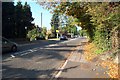
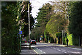
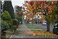
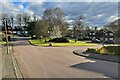

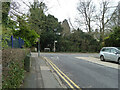
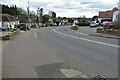
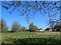
15 photos from this area
Area Information
Key information about the WD17 4TJ including its size, population, and administrative classification.
- Area Type
- Postcode
- Area Size
- 1.4 hectares
- Population
- 1674
- Population Density
- 3437 people/km²
House Prices in WD17 4TJ
20
Properties
£575,708
Average Sold Price
£212,000
Lowest Price
£1,090,000
Highest Price
Showing 20 properties
| Address | Type | Beds | Baths | Last Sale Price | Last Sale Date | |
|---|---|---|---|---|---|---|
| 55 The Ridgeway, Watford, WD17 4TJ | house | - | - | £1,090,000 | Aug 2022 | |
| 47 The Ridgeway, Watford, WD17 4TJ | house | 4 | 2 | £920,000 | Apr 2022 | |
| 77 The Ridgeway, Watford, WD17 4TJ | Detached | 5 | 3 | £500,000 | Oct 2020 | |
| 51 The Ridgeway, Watford, WD17 4TJ | Detached | 4 | 2 | £780,000 | Jul 2020 | |
| 79 The Ridgeway, Watford, WD17 4TJ | house | - | - | £655,000 | Mar 2018 | |
| 45 The Ridgeway, Watford, WD17 4TJ | Detached | 3 | - | £825,000 | Nov 2016 | |
| 61 The Ridgeway, Watford, WD17 4TJ | house | - | - | £399,500 | Sep 2010 | |
| 67 The Ridgeway, Watford, WD17 4TJ | Terraced | - | - | £360,000 | Feb 2006 | |
| 75 The Ridgeway, Watford, WD17 4TJ | Terraced | - | - | £440,000 | Jul 2004 | |
| 65 The Ridgeway, Watford, WD17 4TJ | Terraced | - | - | £377,000 | Dec 2002 |
Page 1 of 2
Energy Efficiency in WD17 4TJ
Amenities
Schools
| Rank | School | Type | Entry gender | Ages |
|---|
Explore more schools in this area
Go to Schools tabDemographics
Household Size
Family (3-5 people)
most common
Accommodation Type
Houses
most common
Tenure
81
majority
Ethnic Group
White
most common
Religion
N/A
most common
Household Composition
N/A
most common
Age
47
median
Adults (30-64 years)
most common
Household Deprivation
N/A
with no deprivation
NS-SEC
42
in Lower managerial occupations
Explore more demographic insights in this area
Go to Demographics tabPlanning
Planning Constraints
- Flood RiskPremium
- Ramsar Wetland SitesPremium
- Area of Outstanding Natural BeautyPremium
- Protected Nature ReservePremium
- Protected WoodlandPremium