Area Overview for WD17 3AU
Photos of WD17 3AU
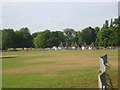
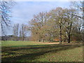
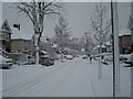
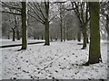

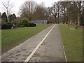
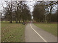
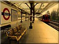
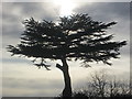
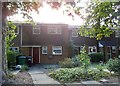
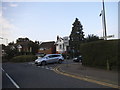
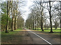
80 photos from this area
Area Information
Key information about the WD17 3AU including its size, population, and administrative classification.
- Area Type
- Postcode
- Area Size
- 7.9 hectares
- Population
- 1847
- Population Density
- 3644 people/km²
House Prices in WD17 3AU
24
Properties
£719,973
Average Sold Price
£215,000
Lowest Price
£1,300,000
Highest Price
Showing 24 properties
| Address | Type | Beds | Baths | Last Sale Price | Last Sale Date | |
|---|---|---|---|---|---|---|
| 79 Parkside Drive, Watford, WD17 3AU | Detached | 4 | 2 | £1,300,000 | Sep 2025 | |
| 73 Parkside Drive, Watford, WD17 3AU | Detached | 4 | 2 | £1,169,998 | Mar 2025 | |
| 75 Parkside Drive, Watford, WD17 3AU | house | 5 | 3 | £1,250,000 | May 2024 | |
| 45 Parkside Drive, Watford, WD17 3AU | house | - | - | £1,035,000 | Dec 2016 | |
| 61 Parkside Drive, Watford, WD17 3AU | house | 4 | - | £895,000 | Jul 2015 | |
| 63 Parkside Drive, Watford, WD17 3AU | house | 3 | - | £630,000 | Jan 2014 | |
| 41 Parkside Drive, Watford, WD17 3AU | Bungalow | 4 | 2 | £610,000 | Mar 2013 | |
| 43 Parkside Drive, Watford, WD17 3AU | Detached | 4 | - | £645,000 | Mar 2013 | |
| 67 Parkside Drive, Watford, WD17 3AU | house | 4 | 3 | £915,000 | May 2011 | |
| 83 Parkside Drive, Watford, WD17 3AU | house | - | - | £650,000 | Aug 2009 |
Page 1 of 3
Energy Efficiency in WD17 3AU
Amenities
Schools
| Rank | School | Type | Entry gender | Ages |
|---|
Explore more schools in this area
Go to Schools tabDemographics
Household Size
Family (3-5 people)
most common
Accommodation Type
Houses
most common
Tenure
94
majority
Ethnic Group
White
most common
Religion
N/A
most common
Household Composition
N/A
most common
Age
47
median
Adults (30-64 years)
most common
Household Deprivation
N/A
with no deprivation
NS-SEC
58
in Lower managerial occupations
Explore more demographic insights in this area
Go to Demographics tabPlanning
Planning Constraints
- Flood RiskPremium
- Ramsar Wetland SitesPremium
- Area of Outstanding Natural BeautyPremium
- Protected Nature ReservePremium
- Protected WoodlandPremium