Area Overview for Thetford Priory Ward
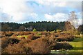
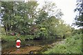
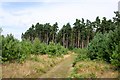
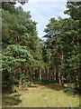
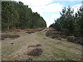
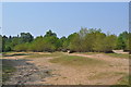
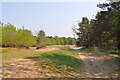
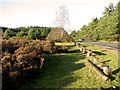
Photos of Thetford Priory Ward
Area Information
Thetford Priory Ward is an electoral ward within Breckland District Council, covering 22.1 km² of the market town of Thetford in Norfolk. This area sits near coordinates 52.4257°N, 0.7145°E and is defined by its inclusion of the historic Thetford Priory site on the banks of the River Little Ouse. The ward blends modern residential life with significant historical landmarks, making it a distinctive place for those interested in heritage. You will find yourself in a community where the past is physically present alongside everyday amenities. The location includes the priory's Grade I listed ruins, which serve as a public site managed by English Heritage. This specific setting provides a unique backdrop for living in Thetford Priory Ward, where the River Little Ouse flows nearby and the Tower Hill offers views of the town. The area functions as a well-defined part of the broader town structure, offering residents a sense of place anchored by centuries of history.
- Area Type
- District Borough Unitary Ward
- Area Size
- 22.1 km²
- Population
- Not available
- Population Density
- Not available
Demographics
The community in Thetford Priory Ward has a distinct demographic profile characterised by an older population. The median age for residents is 70, placing the area as a retirement or post-retirement location rather than a family centre. Consequently, the age profile skews heavily towards senior citizens. Regarding tenure, 44% of homes in Thetford Priory Ward are owner-occupied, indicating a substantial private property market. The remaining households likely comprise rentals or shared arrangements common in such demographic settings. While specific breakdowns for household composition, accommodation types, and predominant ethnic groups are not detailed in the current figures, the age data clearly signals who lives here. This information helps you understand the daily rhythm of the neighbourhood. A median age of 70 suggests quiet streets and services tailored to older needs rather than young families or teenagers. The social fabric is likely stabilised by long-term homeowners, consistent with the 44% ownership rate, rather than a transient population.
Household Size
Accommodation Type
Tenure
Ethnic Group
Religion
Household Composition
Age
Household Deprivation
NS-SEC
Explore more demographic insights in this area
Go to Demographics tabPlanning
Planning Constraints
- Flood RiskPremium
- Ramsar Wetland SitesPremium
- Area of Outstanding Natural BeautyPremium
- Protected Nature ReservePremium
- Protected WoodlandPremium
- Crime RiskPremium