Area Overview for Taverham South Ward
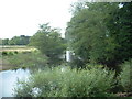
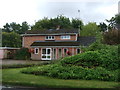
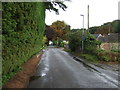
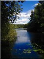
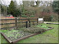
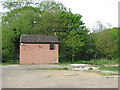
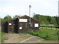
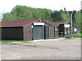
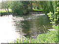
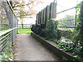
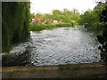
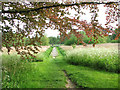
Photos of Taverham South Ward
Area Information
Taverham South Ward occupies a distinct position within the Broadland District, covering 5.5 square kilometres along the north bank of the River Wensum. This district council ward sits approximately 8 kilometres north-west of Norwich city centre, blending open countryside with established village streets. The locality includes the north-western part of Thorpe Marriott alongside the main settlement of Taverham. Daily life here revolves around specific local hubs such as the Victoria Road shopping parade and the Silver Fox Public House. Residents also frequent businesses on Fakenham Road, including Longs Business Centre and a dental practice. Further commercial activity exists along Fir Covert Road, where you can find Taverham Garden Centre and a veterinary surgery. The area supports a mix of residential quiet and accessible local services without the density found further into the urban centre. Living in Taverham South Ward means relying on these named amenities for your day-to-day needs while enjoying the broader semi-rural character of the parish. The ward operates under the broader planning framework of the Taverham Neighbourhood Plan, which guides future development in this specific part of Norfolk. Your homebuying decision here involves selecting from properties situated within this defined 5.5 km² boundary, distinct from the adjacent Taverham North ward but part of the same civil parish.
- Area Type
- District Borough Unitary Ward
- Area Size
- 5.5 km²
- Population
- Not available
- Population Density
- Not available
Demographics
The community profile of Taverham South Ward reflects a mature population, with a median age of 70 years. This figure indicates a neighbourhood populated predominantly by older residents, resulting in a demographic that skew significantly towards retirement age. The ward of Taverham South does not display a specific most common age range in the available data, yet the median age of 70 provides a clear picture of the demographic heart. Home ownership stands at an exceptionally high level of 88%, suggesting that the vast majority of people holding their own keys in this area do so through ownership rather than renting. This statistic points to a stable, settled community where families have long-term roots in Taverham and the surrounding countryside. The local housing stock is dominated by owner-occupier properties, which aligns with the high ownership percentage. There is no available data on the specific breakdown of household composition or the predominant ethnic groups within Taverham South Ward. The religious demographics of the area are also not detailed in the current records. Living in Taverham South Ward offers a lifestyle typically associated with established residents who have maintained their properties or inherited them over many generations. The high rate of home ownership means you are likely to encounter neighbours who have lived there for decades or passed down a legacy in the 5.5 km² area.
Household Size
Accommodation Type
Tenure
Ethnic Group
Religion
Household Composition
Age
Household Deprivation
NS-SEC
Explore more demographic insights in this area
Go to Demographics tabPlanning
Planning Constraints
- Flood RiskPremium
- Ramsar Wetland SitesPremium
- Area of Outstanding Natural BeautyPremium
- Protected Nature ReservePremium
- Protected WoodlandPremium
- Crime RiskPremium