Area Overview for Swardeston
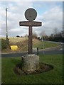
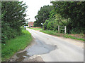
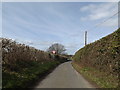
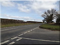
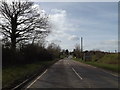
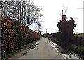
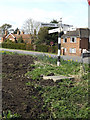
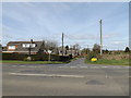
Photos of Swardeston


Area Information
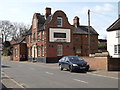
Swardeston is a compact built-up area in England, spanning 34.8 hectares. It is a place where daily life is shaped by its proximity to key services and transport links. With a median age of 70, the community reflects a demographic skewed towards older residents, suggesting a population with established roots. The area’s character is defined by its practical amenities and connections to nearby towns. Residents can access major retailers like Co-op Mulbarton, Tesco Norwich, and Waitrose Norwich, ensuring everyday needs are met within reach. Rail links to Norwich and Wymondham stations provide easy access to larger urban centres, while Wymondham Abbey offers a historical touchstone. Living in Swardeston means balancing a quieter, more mature environment with the convenience of nearby infrastructure. The high home ownership rate of 83% indicates a stable, long-term community, where properties are likely to be well-maintained and reflective of local needs. For those seeking a place with manageable size, accessible services, and a low-crime environment, Swardeston presents a straightforward option.
- Area Type
- Built Up Area 250
- Area Size
- 34.8 hectares
- Population
- Not available
- Population Density
- Not available
Residents of Swardeston have access to a range of nearby amenities that cater to daily needs and leisure. Retail options include Co-op Mulbarton, Tesco Norwich, and Waitrose Norwich, providing a mix of local and national stores for shopping. Rail connections to Norwich and Wymondham stations offer easy access to urban centres, while Wymondham Abbey adds a touch of historical interest. The area’s compact size means these amenities are within practical reach, reducing the need for long commutes. For those who enjoy a mix of practicality and cultural elements, the presence of both modern retail and historical sites creates a balanced lifestyle. The absence of detailed data on dining or parks means the full extent of leisure options is not specified, but the existing infrastructure suggests a community that prioritises convenience. Living in Swardeston offers a straightforward, service-oriented lifestyle with minimal effort required to access essentials.
Amenities
Schools
| Rank | School | Type | Entry gender | Ages |
|---|
Explore more schools in this area
Go to Schools tabDemographics
Swardeston’s population is predominantly older, with a median age of 70. This suggests a community where retirees and long-term residents form the majority. The most common age range is listed as “Total,” which may indicate a lack of detailed breakdowns but aligns with the high median age. Home ownership is strong, with 83% of residents owning their homes, a figure that underscores a settled, less transient population. Accommodation types and household compositions are not specified in detail, but the overall data implies a mix of family and single-person households. The area’s demographic profile does not include specific information on ethnic diversity or religious composition, though the “total” designation for these categories may reflect aggregated data rather than a lack of detail. The absence of specific deprivation metrics means that quality of life factors such as access to services and transport are better inferred from the available infrastructure. For prospective buyers, the high home ownership rate and older demographic suggest a community with a focus on stability and continuity.
Household Size
Accommodation Type
Tenure
Ethnic Group
Religion
Household Composition
Age
Household Deprivation
NS-SEC
Explore more demographic insights in this area
Go to Demographics tabPlanning
Planning Constraints
- Crime RiskPremium