Area Overview for Swafield
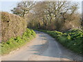
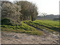
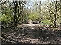
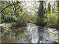
Photos of Swafield
Area Information
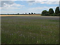
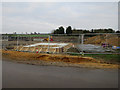
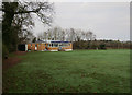
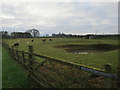
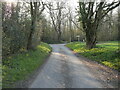
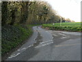
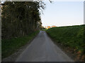
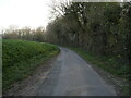
Living in Swafield offers a quiet retreat within a civil parish that spans 6.4 square kilometres. This settlement is situated in England, providing a distinct character separate from the more densely populated urban centres nearby. The area functions as a self-contained community where residents enjoy a slower pace of life compared to the surrounding regions. You will find that daily routines here are defined by proximity to local amenities rather than the convenience of being in a city centre. The small size of the parish means that public transport links and major commercial hubs are further away, requiring reliance on personal vehicles for most journeys. Despite its modest footprint, Swafield has developed into a stable neighbourhood with well-established local traditions. Prospective homebuyers should understand that this location suits those who value space and tranquillity over immediate access to nightlife or major shopping districts. The landscape within these 6.4 square kilometres supports a range of domestic settings, from个性ised gardens to smaller family plots. You live among neighbours who have called this parish home for many years, creating a continuity that is rare in rapidly changing markets. The environment is marked by an absence of large-scale industrial intrusion or heavy traffic congestion. Your daily life revolves around local interactions and the manageable scale of the settlement. This makes Swafield an ideal choice for individuals seeking a secluded yet accessible residential address where the community remains close-knit.
- Area Type
- Parish
- Area Size
- 6.4 km²
- Population
- Not available
- Population Density
- Not available
Demographics
The community in Swafield is defined by a distinctive age profile, with a median age of 70. This figure indicates that the population is predominantly comprised of older adults who have settled into long-term residences. While a specific range for the 'Age: Total' category is not detailed in the provided breakdown, the high median age signals a retirement-oriented demographic. You are looking at a neighbourhood where the majority of residents are likely active retirees or seniors seeking a peaceful environment. This demographic composition shapes the local culture, with community activities often tailored to the needs and interests of an older citizenry. Home ownership stands at 75 per cent, reflecting a highly stable area where most residents have purchased properties rather than renting. This high level of ownership suggests that many families have been in their homes for decades and viewed the area as a long-term investment. The household composition and accommodation type data indicate a consistent pattern of housing tenure, reinforcing the status of Swafield as an established residential zone. Ethnic diversity and religious demographics are aggregated in the total figures provided, showing a homogeneous community structure typical of many rural civil parishes. Residents here can expect a settled population with deep local roots. The low rate of transient movement contributes to a reliable sense of community safety and mutual support among neighbours.
Household Size
Accommodation Type
Tenure
Ethnic Group
Religion
Household Composition
Age
Household Deprivation
NS-SEC
Explore more demographic insights in this area
Go to Demographics tabPlanning
Planning Constraints
- Flood RiskPremium
- Ramsar Wetland SitesPremium
- Area of Outstanding Natural BeautyPremium
- Protected Nature ReservePremium
- Protected WoodlandPremium
- Crime RiskPremium