Area Overview for Suffield Park Ward
Photos of Suffield Park Ward
Area Information
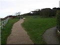
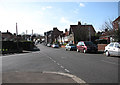
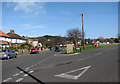
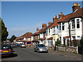
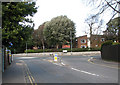
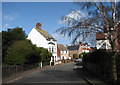
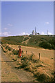
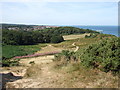
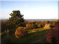
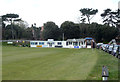
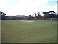
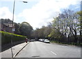
Living in Suffield Park Ward offers a distinct coastal lifestyle situated within the North Norfolk District. This compact electoral ward spans just 1.5 square kilometres, including the parish of Suffield and parts of surrounding areas. You are positioned east of Cromer, forming part of the proposed Cromer electoral division alongside villages like Northrepps and Sidestrand. The area sits approximately at coordinates 52.9244°N, 1.3117°E, placing you in close proximity to the North Sea coast while maintaining connections to local services. The ward represents a specific slice of Norfolk where modern digital infrastructure meets traditional rural living. Your daily life involves navigating a small, defined community where the boundaries are clear and the geography is intimate. This setting provides a backdrop for residents who value a location defined by its position relative to historic coastal towns and the wider Eastern Region of England. The compact nature of the ward means that distances are short, yet the location retains its character as part of the broader Nordfolk landscape.
- Area Type
- District Borough Unitary Ward
- Area Size
- 1.5 km²
- Population
- Not available
- Population Density
- Not available
Demographics
The community within Suffield Park Ward reflects a mature demographic profile distinct from national averages. The median age across the ward stands at 70 years, indicating a population heavily weighted towards older residents. Consequently, the most common age range recorded is simply listed as Age: Total in the available data, suggesting a generalised distribution rather than a young cohort. With a home ownership rate of 64%, the area exhibits strong public commitment rather than a transient tenancy culture. This high ownership figure suggests that residents have long-term ties to the locality and are less likely to move frequently. While the data does not specify detailed breakdowns for household composition or predominant ethnic groups, the high ownership percentage shapes the social fabric. You are entering a neighbourhood where families and individuals have established deep roots over decades. The accommodation types present align with this owner-occupied majority, creating a stable environment. Deprivation metrics are not detailed in the provided figures, but the ownership structure points towards a community with significant financial stability among its inhabitants.
Household Size
Accommodation Type
Tenure
Ethnic Group
Religion
Household Composition
Age
Household Deprivation
NS-SEC
Explore more demographic insights in this area
Go to Demographics tabPlanning
Planning Constraints
- Flood RiskPremium
- Ramsar Wetland SitesPremium
- Area of Outstanding Natural BeautyPremium
- Protected Nature ReservePremium
- Protected WoodlandPremium
- Crime RiskPremium