Area Overview for Stotfold
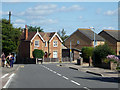
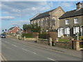
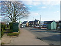
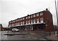
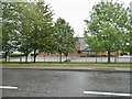
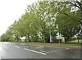
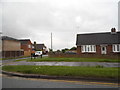
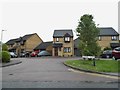
Photos of Stotfold


Area Information
Stotfold is a compact built-up area spanning 3.0 km², nestled in England. Its character is defined by a mix of residential properties and accessible amenities, catering to a community with a median age of 70. This suggests a population skewed toward older residents, many of whom likely own their homes, given the 73% home ownership rate. Daily life here is shaped by proximity to essential services, including five retail outlets like Co-op Stotfold and Tesco Fairfield, as well as railway stations such as Arlesey and Letchworth. The area’s schools, ranging from primary institutions like Roecroft Lower School to academies like Etonbury Academy, offer a range of educational options. While the community may be older, the presence of diverse schools and transport links ensures practical connectivity for residents. Stotfold’s appeal lies in its balance of local convenience and broader accessibility, making it a viable choice for those prioritising safety, stability, and ease of movement.
- Area Type
- Built Up Area 250
- Area Size
- 3.0 km²
- Population
- Not available
- Population Density
- Not available
Stotfold’s residents have access to a range of amenities within practical reach. Retail options include Co-op Stotfold, Tesco Fairfield, and M&S Baldock A1, offering everyday shopping needs. The presence of multiple railway stations, such as Letchworth and Baldock, enhances connectivity for travel and commuting. While the data does not specify parks or leisure facilities, the availability of schools and retail outlets suggests a community-oriented environment. The mix of local shops and transport links contributes to a convenient lifestyle, allowing residents to manage daily tasks without long commutes. The area’s amenities reflect a balance between self-sufficiency and access to external services, supporting both routine living and occasional outings.
Amenities
Schools
Stotfold’s proximity to a range of schools offers families multiple educational choices. Primary schools include Roecroft Lower School, which holds an Ofsted rating of satisfactory, and Fairfield Park Lower School, rated good. St Mary’s VC Lower School and Etonbury Middle School also serve the area, though their Ofsted ratings are not specified. At the secondary level, Etonbury Academy is an academy with a good Ofsted rating. The mix of primary and academy schools provides options for different educational philosophies and standards. Families may prefer the academies for their potentially higher performance, while primary schools with good ratings offer reliable early education. The availability of multiple schools within practical reach ensures that parents have choices aligned with their priorities.
| Rank | School | Type | Entry gender | Ages |
|---|
Explore more schools in this area
Go to Schools tabDemographics
Stotfold’s population has a median age of 70, indicating a community predominantly composed of older individuals. This is reflected in the 73% home ownership rate, which suggests a stable, long-term resident base. The data does not specify household types or accommodation preferences, but the overall home ownership figure implies a low proportion of rental properties. The area’s demographics do not provide detailed breakdowns of ethnic diversity or religious composition, though the "total" designation for these categories suggests a lack of granular data. For quality of life, the older demographic may influence local services and infrastructure needs, but the absence of specific figures on deprivation or income levels means these factors cannot be assessed. The high home ownership rate, however, points to a community with financial stability and a preference for settled living.
Household Size
Accommodation Type
Tenure
Ethnic Group
Religion
Household Composition
Age
Household Deprivation
NS-SEC
Explore more demographic insights in this area
Go to Demographics tabPlanning
Planning Constraints
- Crime RiskPremium