Area Overview for SS9 5UW
Photos of SS9 5UW
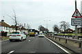
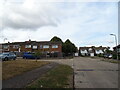
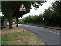
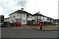
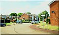
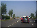
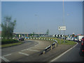
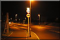
20 photos from this area
Area Information
Key information about the SS9 5UW including its size, population, and administrative classification.
- Area Type
- Postcode
- Area Size
- 6433 m²
- Population
- 2367
- Population Density
- 4259 people/km²
House Prices in SS9 5UW
15
Properties
£264,791
Average Sold Price
£85,000
Lowest Price
£465,000
Highest Price
Showing 15 properties
| Address | Type | Beds | Baths | Last Sale Price | Last Sale Date | |
|---|---|---|---|---|---|---|
| 106 Neil Armstrong Way, Eastwood, SS9 5UW | house | - | - | £380,000 | Mar 2021 | |
| 102 Neil Armstrong Way, Eastwood, SS9 5UW | Detached | 4 | 2 | £465,000 | Sep 2019 | |
| 96 Neil Armstrong Way, Eastwood, SS9 5UW | Detached | 4 | - | £307,000 | Aug 2014 | |
| 90 Neil Armstrong Way, Eastwood, SS9 5UW | house | - | - | £295,995 | Apr 2014 | |
| 88 Neil Armstrong Way, Eastwood, SS9 5UW | Detached | 4 | - | £266,000 | Jun 2013 | |
| 92 Neil Armstrong Way, Eastwood, SS9 5UW | Detached | - | - | £274,995 | Dec 2007 | |
| 110 Neil Armstrong Way, Eastwood, SS9 5UW | Detached | - | - | £285,000 | Sep 2007 | |
| 108 Neil Armstrong Way, Eastwood, SS9 5UW | Detached | - | - | £242,000 | Mar 2007 | |
| 100 Neil Armstrong Way, Eastwood, SS9 5UW | Detached | - | - | £343,000 | Oct 2006 | |
| 78 Neil Armstrong Way, Eastwood, SS9 5UW | house | - | - | £145,000 | Jul 2000 |
Page 1 of 2
Energy Efficiency in SS9 5UW
Amenities
Schools
| Rank | School | Type | Entry gender | Ages |
|---|
Explore more schools in this area
Go to Schools tabDemographics
Household Size
Family (3-5 people)
most common
Accommodation Type
Houses
most common
Tenure
71
majority
Ethnic Group
White
most common
Religion
N/A
most common
Household Composition
N/A
most common
Age
47
median
Adults (30-64 years)
most common
Household Deprivation
N/A
with no deprivation
NS-SEC
32
in Lower managerial occupations
Explore more demographic insights in this area
Go to Demographics tabPlanning
Planning Constraints
- Flood RiskPremium
- Ramsar Wetland SitesPremium
- Area of Outstanding Natural BeautyPremium
- Protected Nature ReservePremium
- Protected WoodlandPremium