Area Overview for SS9 5PT
Photos of SS9 5PT
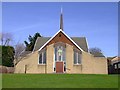
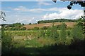
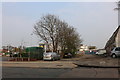
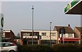
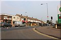
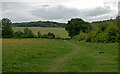
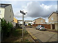
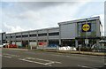
36 photos from this area
Area Information
Key information about the SS9 5PT including its size, population, and administrative classification.
- Area Type
- Postcode
- Area Size
- 1.9 hectares
- Population
- 1747
- Population Density
- 3505 people/km²
House Prices in SS9 5PT
29
Properties
£190,556
Average Sold Price
£35,000
Lowest Price
£475,000
Highest Price
Showing 29 properties
| Address | Type | Beds | Baths | Last Sale Price | Last Sale Date | |
|---|---|---|---|---|---|---|
| 380A Rayleigh Road, Eastwood, SS9 5PT | Flat | - | - | £350,000 | Feb 2024 | |
| 422 Rayleigh Road, Eastwood, SS9 5PT | Flat | 2 | 1 | £217,000 | Dec 2019 | |
| 420 Rayleigh Road, Eastwood, SS9 5PT | Flat | - | - | £200,000 | Mar 2019 | |
| 370A Rayleigh Road, Eastwood, SS9 5PT | Flat | - | - | £475,000 | Jun 2017 | |
| 418 Rayleigh Road, Eastwood, SS9 5PT | Flat | - | - | £173,000 | Aug 2016 | |
| 426 Rayleigh Road, Eastwood, SS9 5PT | Flat | - | - | £125,500 | Sep 2005 | |
| 376A Rayleigh Road, Eastwood, SS9 5PT | Flat | - | - | £90,000 | Sep 2003 | |
| 410A Rayleigh Road, Eastwood, SS9 5PT | Flat | - | - | £49,500 | Feb 2002 | |
| 428 Rayleigh Road, Eastwood, SS9 5PT | Flat | - | - | £35,000 | Jun 1997 | |
| 382C Rayleigh Road, Eastwood, SS9 5PT | Flat | 3 | 1 | - | - |
Page 1 of 3
Energy Efficiency in SS9 5PT
Amenities
Schools
| Rank | School | Type | Entry gender | Ages |
|---|
Explore more schools in this area
Go to Schools tabDemographics
Household Size
Two person
most common
Accommodation Type
Houses
most common
Tenure
67
majority
Ethnic Group
White
most common
Religion
N/A
most common
Household Composition
N/A
most common
Age
47
median
Adults (30-64 years)
most common
Household Deprivation
N/A
with no deprivation
NS-SEC
28
in Lower managerial occupations
Explore more demographic insights in this area
Go to Demographics tabPlanning
Planning Constraints
- Flood RiskPremium
- Ramsar Wetland SitesPremium
- Area of Outstanding Natural BeautyPremium
- Protected Nature ReservePremium
- Protected WoodlandPremium