Area Overview for SS9 5BW
Photos of SS9 5BW
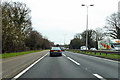
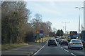
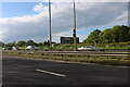
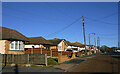
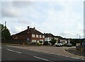
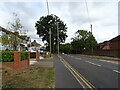
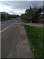
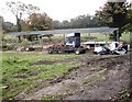
22 photos from this area
Area Information
Key information about the SS9 5BW including its size, population, and administrative classification.
- Area Type
- Postcode
- Area Size
- 2.1 hectares
- Population
- 1509
- Population Density
- 5093 people/km²
House Prices in SS9 5BW
55
Properties
£235,477
Average Sold Price
£40,000
Lowest Price
£470,000
Highest Price
Showing 55 properties
| Address | Type | Beds | Baths | Last Sale Price | Last Sale Date | |
|---|---|---|---|---|---|---|
| 115 Springwater Road, Eastwood, SS9 5BW | Semi-detached | 3 | 1 | £402,500 | Feb 2025 | |
| 86 Springwater Road, Eastwood, SS9 5BW | Semi-detached | 3 | 1 | £420,000 | Nov 2024 | |
| 95 Springwater Road, Eastwood, SS9 5BW | Bungalow | 3 | 1 | £470,000 | Aug 2024 | |
| 120 Springwater Road, Eastwood, SS9 5BW | house | - | - | £390,000 | Feb 2024 | |
| 114 Springwater Road, Eastwood, SS9 5BW | house | - | - | £350,000 | Apr 2023 | |
| 134 Springwater Road, Eastwood, SS9 5BW | house | - | - | £356,000 | May 2021 | |
| 85 Springwater Road, Eastwood, SS9 5BW | Bungalow | - | - | £344,995 | Mar 2021 | |
| 117 Springwater Road, Eastwood, SS9 5BW | Semi-detached | 3 | 1 | £350,000 | Aug 2020 | |
| 112 Springwater Road, Eastwood, SS9 5BW | Bungalow | 3 | - | £368,000 | Mar 2020 | |
| 96 Springwater Road, Eastwood, SS9 5BW | house | - | - | £320,000 | Dec 2019 |
Page 1 of 6
Energy Efficiency in SS9 5BW
Amenities
Schools
| Rank | School | Type | Entry gender | Ages |
|---|
Explore more schools in this area
Go to Schools tabDemographics
Household Size
Two person
most common
Accommodation Type
Houses
most common
Tenure
90
majority
Ethnic Group
White
most common
Religion
N/A
most common
Household Composition
N/A
most common
Age
47
median
Adults (30-64 years)
most common
Household Deprivation
N/A
with no deprivation
NS-SEC
33
in Lower managerial occupations
Explore more demographic insights in this area
Go to Demographics tabPlanning
Planning Constraints
- Flood RiskPremium
- Ramsar Wetland SitesPremium
- Area of Outstanding Natural BeautyPremium
- Protected Nature ReservePremium
- Protected WoodlandPremium