Area Overview for SS9 4PX
Photos of SS9 4PX
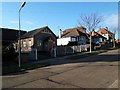

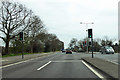

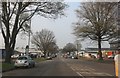
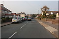
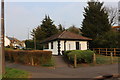
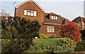
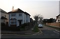
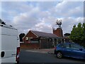
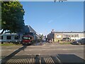
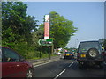
18 photos from this area
Area Information
Key information about the SS9 4PX including its size, population, and administrative classification.
- Area Type
- Postcode
- Area Size
- 1.4 hectares
- Population
- 1711
- Population Density
- 5384 people/km²
House Prices in SS9 4PX
32
Properties
£304,174
Average Sold Price
£75,000
Lowest Price
£750,000
Highest Price
Showing 32 properties
| Address | Type | Beds | Baths | Last Sale Price | Last Sale Date | |
|---|---|---|---|---|---|---|
| 36 Broadclyst Avenue, Leigh On Sea, SS9 4PX | house | - | - | £442,500 | Oct 2022 | |
| 38 Broadclyst Avenue, Leigh On Sea, SS9 4PX | Chalet | 3 | - | £560,000 | Apr 2022 | |
| 8 Broadclyst Avenue, Leigh On Sea, SS9 4PX | Semi-detached | 2 | - | £400,000 | Apr 2022 | |
| 35 Broadclyst Avenue, Leigh On Sea, SS9 4PX | house | 4 | - | £372,000 | Nov 2021 | |
| 41 Broadclyst Avenue, Leigh On Sea, SS9 4PX | Bungalow | - | - | £345,000 | Jul 2021 | |
| 12 Broadclyst Avenue, Leigh On Sea, SS9 4PX | Semi-detached | - | - | £425,000 | Dec 2020 | |
| 10 Broadclyst Avenue, Leigh On Sea, SS9 4PX | Bungalow | 2 | - | £440,000 | Dec 2020 | |
| 15 Broadclyst Avenue, Leigh On Sea, SS9 4PX | Semi-detached | - | - | £151,656 | Oct 2019 | |
| 16 Broadclyst Avenue, Leigh On Sea, SS9 4PX | Detached | 4 | 2 | £750,000 | Oct 2018 | |
| 11 Broadclyst Avenue, Leigh On Sea, SS9 4PX | Detached | 4 | 2 | £417,500 | Aug 2018 |
Page 1 of 4
Energy Efficiency in SS9 4PX
Amenities
Schools
| Rank | School | Type | Entry gender | Ages |
|---|
Explore more schools in this area
Go to Schools tabDemographics
Household Size
One person
most common
Accommodation Type
Houses
most common
Tenure
76
majority
Ethnic Group
White
most common
Religion
N/A
most common
Household Composition
N/A
most common
Age
47
median
Adults (30-64 years)
most common
Household Deprivation
N/A
with no deprivation
NS-SEC
29
in Lower managerial occupations
Explore more demographic insights in this area
Go to Demographics tabPlanning
Planning Constraints
- Flood RiskPremium
- Ramsar Wetland SitesPremium
- Area of Outstanding Natural BeautyPremium
- Protected Nature ReservePremium
- Protected WoodlandPremium