Area Overview for SS9 4BX
Photos of SS9 4BX
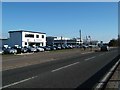
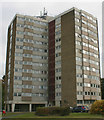
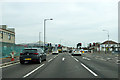
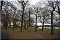
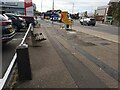
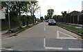
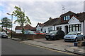
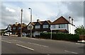
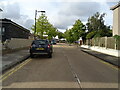
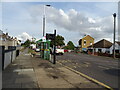
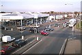
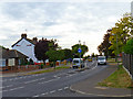
22 photos from this area
Area Information
Key information about the SS9 4BX including its size, population, and administrative classification.
- Area Type
- Postcode
- Area Size
- 1.5 hectares
- Population
- 1711
- Population Density
- 5384 people/km²
House Prices in SS9 4BX
27
Properties
£260,722
Average Sold Price
£158,000
Lowest Price
£365,000
Highest Price
Showing 27 properties
| Address | Type | Beds | Baths | Last Sale Price | Last Sale Date | |
|---|---|---|---|---|---|---|
| 49 Eastwood Road North, Leigh On Sea, SS9 4BX | Bungalow | - | - | £300,000 | Jul 2021 | |
| 35 Eastwood Road North, Leigh On Sea, SS9 4BX | Semi-detached | 3 | 1 | £310,000 | Sep 2018 | |
| 13 Eastwood Road North, Leigh On Sea, SS9 4BX | Semi-detached | 4 | - | £260,000 | Oct 2016 | |
| 29 Eastwood Road North, Leigh On Sea, SS9 4BX | Bungalow | 3 | 1 | £365,000 | Nov 2015 | |
| 33 Eastwood Road North, Leigh On Sea, SS9 4BX | Semi-detached | 4 | - | £280,000 | Jul 2015 | |
| 47 Eastwood Road North, Leigh On Sea, SS9 4BX | Bungalow | 2 | - | £203,500 | Jul 2013 | |
| 19 Eastwood Road North, Leigh On Sea, SS9 4BX | house | - | - | £220,000 | Jan 2007 | |
| 43 Eastwood Road North, Leigh On Sea, SS9 4BX | Detached | - | - | £249,995 | Nov 2006 | |
| 15 Eastwood Road North, Leigh On Sea, SS9 4BX | house | - | - | £158,000 | Oct 2002 | |
| 41A Eastwood Road North, Leigh On Sea, SS9 4BX | Detached | 3 | 1 | - | - |
Page 1 of 3
Energy Efficiency in SS9 4BX
Amenities
Schools
| Rank | School | Type | Entry gender | Ages |
|---|
Explore more schools in this area
Go to Schools tabDemographics
Household Size
One person
most common
Accommodation Type
Houses
most common
Tenure
76
majority
Ethnic Group
White
most common
Religion
N/A
most common
Household Composition
N/A
most common
Age
47
median
Adults (30-64 years)
most common
Household Deprivation
N/A
with no deprivation
NS-SEC
29
in Lower managerial occupations
Explore more demographic insights in this area
Go to Demographics tabPlanning
Planning Constraints
- Flood RiskPremium
- Ramsar Wetland SitesPremium
- Area of Outstanding Natural BeautyPremium
- Protected Nature ReservePremium
- Protected WoodlandPremium