Area Overview for SS9 3HP
Photos of SS9 3HP
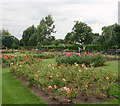
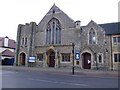
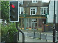
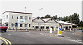
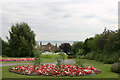
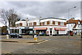
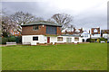
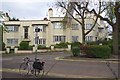
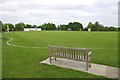
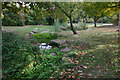
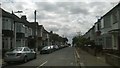
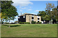
40 photos from this area
Area Information
Key information about the SS9 3HP including its size, population, and administrative classification.
- Area Type
- Postcode
- Area Size
- 4.2 hectares
- Population
- 1690
- Population Density
- 3526 people/km²
House Prices in SS9 3HP
31
Properties
£221,333
Average Sold Price
£47,500
Lowest Price
£360,000
Highest Price
Showing 31 properties
| Address | Type | Beds | Baths | Last Sale Price | Last Sale Date | |
|---|---|---|---|---|---|---|
| 19 Manchester Drive, Leigh On Sea, SS9 3HP | Terraced | 3 | 1 | £350,000 | Aug 2024 | |
| 17 Manchester Drive, Leigh On Sea, SS9 3HP | house | - | - | £335,000 | Mar 2024 | |
| 47 Manchester Drive, Leigh On Sea, SS9 3HP | house | 3 | 1 | £360,000 | May 2023 | |
| 29 Manchester Drive, Leigh On Sea, SS9 3HP | Terraced | 3 | 2 | £330,000 | Dec 2021 | |
| 41 Manchester Drive, Leigh On Sea, SS9 3HP | Terraced | 3 | 1 | £288,000 | Apr 2021 | |
| 43 Manchester Drive, Leigh On Sea, SS9 3HP | Terraced | 3 | 1 | £283,000 | Jan 2020 | |
| 51 Manchester Drive, Leigh On Sea, SS9 3HP | Terraced | 3 | 1 | £265,000 | May 2019 | |
| 13 Manchester Drive, Leigh On Sea, SS9 3HP | house | 3 | - | £270,000 | Nov 2015 | |
| 53 Manchester Drive, Leigh On Sea, SS9 3HP | house | - | - | £168,500 | Mar 2011 | |
| 31 Manchester Drive, Leigh On Sea, SS9 3HP | house | 3 | 1 | £190,000 | Feb 2008 |
Page 1 of 4
Energy Efficiency in SS9 3HP
Amenities
Schools
| Rank | School | Type | Entry gender | Ages |
|---|
Explore more schools in this area
Go to Schools tabDemographics
Household Size
Family (3-5 people)
most common
Accommodation Type
Houses
most common
Tenure
45
majority
Ethnic Group
White
most common
Religion
N/A
most common
Household Composition
N/A
most common
Age
47
median
Adults (30-64 years)
most common
Household Deprivation
N/A
with no deprivation
NS-SEC
24
in Lower managerial occupations
Explore more demographic insights in this area
Go to Demographics tabPlanning
Planning Constraints
- Flood RiskPremium
- Ramsar Wetland SitesPremium
- Area of Outstanding Natural BeautyPremium
- Protected Nature ReservePremium
- Protected WoodlandPremium