Area Overview for SS9 2PB
Photos of SS9 2PB
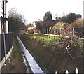
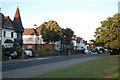
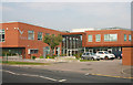
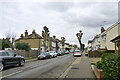
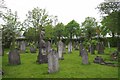
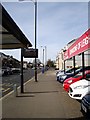
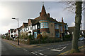
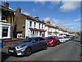
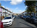
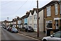
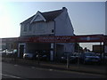
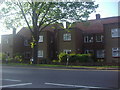
20 photos from this area
Area Information
Key information about the SS9 2PB including its size, population, and administrative classification.
- Area Type
- Postcode
- Area Size
- 3389 m²
- Population
- 1741
- Population Density
- 4577 people/km²
House Prices in SS9 2PB
9
Properties
£412,950
Average Sold Price
£220,000
Lowest Price
£750,000
Highest Price
Showing 9 properties
| Address | Type | Beds | Baths | Last Sale Price | Last Sale Date | |
|---|---|---|---|---|---|---|
| 101 Western Road, Leigh On Sea, SS9 2PB | Semi-detached | 3 | 1 | £680,000 | Aug 2023 | |
| 113A Western Road, Leigh On Sea, SS9 2PB | Flat | - | - | £285,000 | Jun 2021 | |
| 113 Western Road, Leigh On Sea, SS9 2PB | Flat | - | - | £272,500 | Oct 2018 | |
| 105 Western Road, Leigh On Sea, SS9 2PB | Semi-detached | 4 | 2 | £750,000 | Sep 2017 | |
| 111 Western Road, Leigh On Sea, SS9 2PB | house | - | - | £452,100 | Dec 2015 | |
| 107 Western Road, Leigh On Sea, SS9 2PB | house | - | - | £407,000 | Oct 2012 | |
| 115 Western Road, Leigh On Sea, SS9 2PB | Detached | - | - | £237,000 | Nov 2002 | |
| 109 Western Road, Leigh On Sea, SS9 2PB | Chalet | 6 | - | £220,000 | Oct 2001 | |
| 103 Western Road, Leigh On Sea, SS9 2PB | Semi-detached | - | - | - | - |
Energy Efficiency in SS9 2PB
Amenities
Schools
| Rank | School | Type | Entry gender | Ages |
|---|
Explore more schools in this area
Go to Schools tabDemographics
Household Size
One person
most common
Accommodation Type
Houses
most common
Tenure
65
majority
Ethnic Group
White
most common
Religion
N/A
most common
Household Composition
N/A
most common
Age
47
median
Adults (30-64 years)
most common
Household Deprivation
N/A
with no deprivation
NS-SEC
46
in Lower managerial occupations
Explore more demographic insights in this area
Go to Demographics tabPlanning
Planning Constraints
- Flood RiskPremium
- Ramsar Wetland SitesPremium
- Area of Outstanding Natural BeautyPremium
- Protected Nature ReservePremium
- Protected WoodlandPremium