Area Overview for SS9 2LF
Photos of SS9 2LF
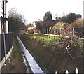
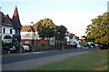

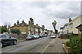
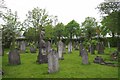
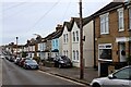
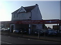
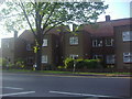
20 photos from this area
Area Information
Key information about the SS9 2LF including its size, population, and administrative classification.
- Area Type
- Postcode
- Area Size
- 1.3 hectares
- Population
- 1545
- Population Density
- 6467 people/km²
House Prices in SS9 2LF
32
Properties
£393,280
Average Sold Price
£57,500
Lowest Price
£700,000
Highest Price
Showing 32 properties
| Address | Type | Beds | Baths | Last Sale Price | Last Sale Date | |
|---|---|---|---|---|---|---|
| 12 Westleigh Avenue, Leigh On Sea, SS9 2LF | Semi-detached | 3 | 2 | £580,000 | Aug 2025 | |
| 64 Westleigh Avenue, Leigh On Sea, SS9 2LF | Detached | 3 | 2 | £623,500 | Mar 2024 | |
| 16 Westleigh Avenue, Leigh On Sea, SS9 2LF | Semi-detached | - | - | £625,000 | Jul 2023 | |
| 56 Westleigh Avenue, Leigh On Sea, SS9 2LF | Detached | 4 | 2 | £700,000 | Mar 2023 | |
| 42 Westleigh Avenue, Leigh On Sea, SS9 2LF | house | - | - | £620,000 | Feb 2023 | |
| 76 Westleigh Avenue, Leigh On Sea, SS9 2LF | Bungalow | - | - | £535,000 | Jun 2022 | |
| 62 Westleigh Avenue, Leigh On Sea, SS9 2LF | Detached | 3 | 1 | £675,000 | Aug 2021 | |
| 24 Westleigh Avenue, Leigh On Sea, SS9 2LF | Terraced | 3 | 2 | £517,000 | Nov 2019 | |
| 30 Westleigh Avenue, Leigh On Sea, SS9 2LF | Terraced | 4 | 3 | £520,000 | Feb 2018 | |
| 50 Westleigh Avenue, Leigh On Sea, SS9 2LF | house | - | - | £570,000 | Nov 2017 |
Page 1 of 4
Energy Efficiency in SS9 2LF
Amenities
Schools
| Rank | School | Type | Entry gender | Ages |
|---|
Explore more schools in this area
Go to Schools tabDemographics
Household Size
Family (3-5 people)
most common
Accommodation Type
Houses
most common
Tenure
72
majority
Ethnic Group
White
most common
Religion
N/A
most common
Household Composition
N/A
most common
Age
47
median
Adults (30-64 years)
most common
Household Deprivation
N/A
with no deprivation
NS-SEC
51
in Lower managerial occupations
Explore more demographic insights in this area
Go to Demographics tabPlanning
Planning Constraints
- Flood RiskPremium
- Ramsar Wetland SitesPremium
- Area of Outstanding Natural BeautyPremium
- Protected Nature ReservePremium
- Protected WoodlandPremium