Area Overview for SS8 7HF
Photos of SS8 7HF
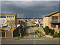
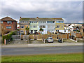
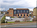
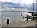
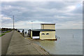
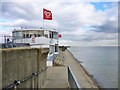
74 photos from this area
Area Information
Key information about the SS8 7HF including its size, population, and administrative classification.
- Area Type
- Postcode
- Area Size
- 9969 m²
- Population
- 2382
- Population Density
- 4004 people/km²
House Prices in SS8 7HF
10
Properties
£246,500
Average Sold Price
£200,000
Lowest Price
£300,000
Highest Price
Showing 10 properties
| Address | Type | Beds | Baths | Last Sale Price | Last Sale Date | |
|---|---|---|---|---|---|---|
| 103A May Avenue, Canvey Island, SS8 7HF | Bungalow | 1 | 1 | £240,000 | Oct 2024 | |
| 112 May Avenue, Canvey Island, SS8 7HF | house | - | - | £300,000 | May 2021 | |
| 103 May Avenue, Canvey Island, SS8 7HF | house | - | - | £246,000 | May 2015 | |
| 105 May Avenue, Canvey Island, SS8 7HF | house | - | - | £200,000 | Feb 2005 | |
| 101 May Avenue, Canvey Island, SS8 7HF | Detached | - | - | - | - | |
| 114 May Avenue, Canvey Island, SS8 7HF | house | 4 | 3 | - | - | |
| 110 May Avenue, Canvey Island, SS8 7HF | house | - | - | - | - | |
| 108 May Avenue, Canvey Island, SS8 7HF | house | - | - | - | - | |
| Caretakers House, Lubbins Park Primary School And Nursery, May Avenue, Canvey Island, SS8 7HF | Detached | - | - | - | - | |
| Lubbins Park Primary School And Nursery, May Avenue, Canvey Island, SS8 7HF | education | - | - | - | - |
Energy Efficiency in SS8 7HF
Amenities
Schools
| Rank | School | Type | Entry gender | Ages |
|---|
Explore more schools in this area
Go to Schools tabDemographics
Household Size
Two person
most common
Accommodation Type
Houses
most common
Tenure
63
majority
Ethnic Group
White
most common
Religion
N/A
most common
Household Composition
N/A
most common
Age
47
median
Adults (30-64 years)
most common
Household Deprivation
N/A
with no deprivation
NS-SEC
23
in Lower managerial occupations
Explore more demographic insights in this area
Go to Demographics tabPlanning
Planning Constraints
- Flood RiskPremium
- Ramsar Wetland SitesPremium
- Area of Outstanding Natural BeautyPremium
- Protected Nature ReservePremium
- Protected WoodlandPremium