Area Overview for SS8 0JS
Photos of SS8 0JS
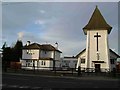
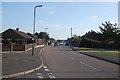
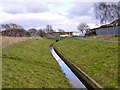
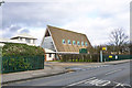
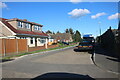
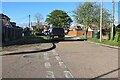
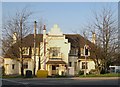
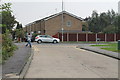
16 photos from this area
Area Information
Key information about the SS8 0JS including its size, population, and administrative classification.
- Area Type
- Postcode
- Area Size
- 2.2 hectares
- Population
- 1227
- Population Density
- 4592 people/km²
House Prices in SS8 0JS
40
Properties
£212,916
Average Sold Price
£58,000
Lowest Price
£350,000
Highest Price
Showing 40 properties
| Address | Type | Beds | Baths | Last Sale Price | Last Sale Date | |
|---|---|---|---|---|---|---|
| 262 Long Road, Canvey Island, SS8 0JS | Semi-detached | 3 | 1 | £332,000 | Mar 2025 | |
| 236 Long Road, Canvey Island, SS8 0JS | Semi-detached | 3 | 1 | £350,000 | Oct 2024 | |
| 258 Long Road, Canvey Island, SS8 0JS | Terraced | 3 | 2 | £335,000 | Jul 2023 | |
| 256 Long Road, Canvey Island, SS8 0JS | house | - | - | £270,000 | Dec 2020 | |
| 246 Long Road, Canvey Island, SS8 0JS | house | - | - | £233,500 | Jan 2020 | |
| 238 Long Road, Canvey Island, SS8 0JS | Terraced | 3 | 1 | £237,000 | Jan 2017 | |
| 290 Long Road, Canvey Island, SS8 0JS | Semi-detached | 3 | - | £255,000 | Jul 2016 | |
| 288 Long Road, Canvey Island, SS8 0JS | Bungalow | - | - | £187,000 | Jun 2016 | |
| 272 Long Road, Canvey Island, SS8 0JS | Bungalow | - | - | £170,000 | Feb 2011 | |
| 248 Long Road, Canvey Island, SS8 0JS | Semi-detached | 2 | 1 | £169,995 | Oct 2010 |
Page 1 of 4
Energy Efficiency in SS8 0JS
Amenities
Schools
| Rank | School | Type | Entry gender | Ages |
|---|
Explore more schools in this area
Go to Schools tabDemographics
Household Size
Family (3-5 people)
most common
Accommodation Type
Houses
most common
Tenure
63
majority
Ethnic Group
White
most common
Religion
N/A
most common
Household Composition
N/A
most common
Age
47
median
Adults (30-64 years)
most common
Household Deprivation
N/A
with no deprivation
NS-SEC
19
in Lower managerial occupations
Explore more demographic insights in this area
Go to Demographics tabPlanning
Planning Constraints
- Flood RiskPremium
- Ramsar Wetland SitesPremium
- Area of Outstanding Natural BeautyPremium
- Protected Nature ReservePremium
- Protected WoodlandPremium