Area Overview for SS7 1EL
Photos of SS7 1EL

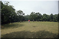
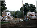
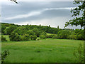
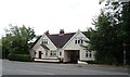
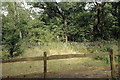
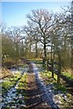

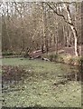
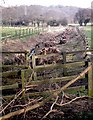
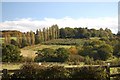
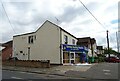
21 photos from this area
Area Information
Key information about the SS7 1EL including its size, population, and administrative classification.
- Area Type
- Postcode
- Area Size
- 1.7 hectares
- Population
- 1538
- Population Density
- 5607 people/km²
House Prices in SS7 1EL
33
Properties
£360,000
Average Sold Price
£119,995
Lowest Price
£867,500
Highest Price
Showing 33 properties
| Address | Type | Beds | Baths | Last Sale Price | Last Sale Date | |
|---|---|---|---|---|---|---|
| 141 Thundersley Park Road, South Benfleet, Benfleet, SS7 1EL | Detached | 5 | 6 | £867,500 | Sep 2023 | |
| 105 Thundersley Park Road, South Benfleet, Benfleet, SS7 1EL | Retail | 3 | 1 | £435,000 | Sep 2022 | |
| 149 Thundersley Park Road, South Benfleet, Benfleet, SS7 1EL | house | - | - | £405,000 | Aug 2022 | |
| 129 Thundersley Park Road, South Benfleet, Benfleet, SS7 1EL | house | - | - | £381,000 | Jan 2021 | |
| 147 Thundersley Park Road, South Benfleet, Benfleet, SS7 1EL | house | - | - | £435,000 | Nov 2019 | |
| 99 Thundersley Park Road, South Benfleet, Benfleet, SS7 1EL | Detached | 4 | 2 | £520,000 | Jul 2019 | |
| 161 Thundersley Park Road, South Benfleet, Benfleet, SS7 1EL | Detached | 5 | 2 | £415,000 | Jan 2019 | |
| 115 Thundersley Park Road, South Benfleet, Benfleet, SS7 1EL | Detached | 3 | - | £425,000 | Sep 2018 | |
| 165 Thundersley Park Road, South Benfleet, Benfleet, SS7 1EL | Detached | 4 | 2 | £440,000 | Jul 2017 | |
| 123 Thundersley Park Road, South Benfleet, Benfleet, SS7 1EL | Semi-detached | 3 | 1 | £325,000 | Apr 2017 |
Page 1 of 4
Energy Efficiency in SS7 1EL
Amenities
Schools
| Rank | School | Type | Entry gender | Ages |
|---|
Explore more schools in this area
Go to Schools tabDemographics
Household Size
Family (3-5 people)
most common
Accommodation Type
Houses
most common
Tenure
90
majority
Ethnic Group
White
most common
Religion
N/A
most common
Household Composition
N/A
most common
Age
47
median
Adults (30-64 years)
most common
Household Deprivation
N/A
with no deprivation
NS-SEC
36
in Lower managerial occupations
Explore more demographic insights in this area
Go to Demographics tabPlanning
Planning Constraints
- Flood RiskPremium
- Ramsar Wetland SitesPremium
- Area of Outstanding Natural BeautyPremium
- Protected Nature ReservePremium
- Protected WoodlandPremium