Area Overview for SS5 5LR
Photos of SS5 5LR
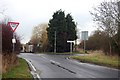
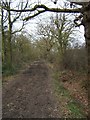
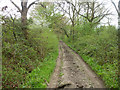
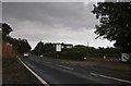
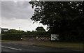
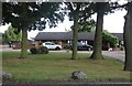
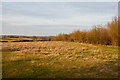
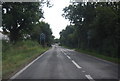
16 photos from this area
Area Information
Key information about the SS5 5LR including its size, population, and administrative classification.
- Area Type
- Postcode
- Area Size
- 37.9 hectares
- Population
- 2316
- Population Density
- 510 people/km²
House Prices in SS5 5LR
12
Properties
£687,500
Average Sold Price
£450,000
Lowest Price
£950,000
Highest Price
Showing 12 properties
| Address | Type | Beds | Baths | Last Sale Price | Last Sale Date | |
|---|---|---|---|---|---|---|
| Marsh View, Lower Road, Hockley, SS5 5LR | Detached | 4 | 5 | £662,500 | May 2008 | |
| Bartons Farm, Lower Road, Hockley, SS5 5LR | Detached | - | - | £950,000 | Jul 2007 | |
| Long Acre Farm, Lower Road, Hockley, SS5 5LR | Flat | 2 | 1 | £450,000 | Jan 2004 | |
| HORSESHOE FARM, LOWER ROAD, Hockley, SS5 5LR | Detached | - | - | - | - | |
| Stables At Horseshoe Farm, Lower Road, Hockley, SS5 5LR | Equestrian | - | - | - | - | |
| Garden Bungalow, Long Acre Farm, Lower Road, Hockley, SS5 5LR | Detached | - | - | - | - | |
| 1ST Choice Cars And Vans Limited, Office, Long Acre Farm, Lower Road, Hockley, SS5 5LR | Office | - | - | - | - | |
| First Floor Unit 10, Long Acre Farm, Lower Road, Hockley, SS5 5LR | Flat | - | - | - | - | |
| Betts Farm, Lower Road, Hockley, SS5 5LR | Detached | - | - | - | - | |
| Lynton Orchard, Lower Road, Hockley, SS5 5LR | house | - | - | - | - |
Page 1 of 2
Energy Efficiency in SS5 5LR
Amenities
Schools
| Rank | School | Type | Entry gender | Ages |
|---|
Explore more schools in this area
Go to Schools tabDemographics
Household Size
Family (3-5 people)
most common
Accommodation Type
Houses
most common
Tenure
92
majority
Ethnic Group
White
most common
Religion
N/A
most common
Household Composition
N/A
most common
Age
47
median
Adults (30-64 years)
most common
Household Deprivation
N/A
with no deprivation
NS-SEC
44
in Lower managerial occupations
Explore more demographic insights in this area
Go to Demographics tabPlanning
Planning Constraints
- Flood RiskPremium
- Ramsar Wetland SitesPremium
- Area of Outstanding Natural BeautyPremium
- Protected Nature ReservePremium