Area Overview for SS5 4SZ
Photos of SS5 4SZ
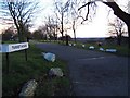
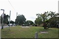
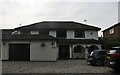
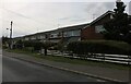
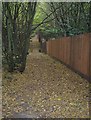
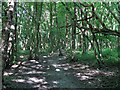
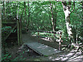
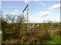

16 photos from this area
Area Information
Key information about the SS5 4SZ including its size, population, and administrative classification.
- Area Type
- Postcode
- Area Size
- 5.0 hectares
- Population
- 2316
- Population Density
- 510 people/km²
House Prices in SS5 4SZ
17
Properties
£768,681
Average Sold Price
£217,000
Lowest Price
£1,500,000
Highest Price
Showing 17 properties
| Address | Type | Beds | Baths | Last Sale Price | Last Sale Date | |
|---|---|---|---|---|---|---|
| 65 High Road, Hockley, SS5 4SZ | Land | 2 | - | £1,500,000 | May 2025 | |
| 67 High Road, Hockley, SS5 4SZ | Detached | 4 | 3 | £1,300,000 | Oct 2021 | |
| 63 High Road, Hockley, SS5 4SZ | Bungalow | 3 | 1 | £970,000 | Jul 2021 | |
| 69 High Road, Hockley, SS5 4SZ | Bungalow | 4 | 2 | £587,500 | Apr 2021 | |
| Christmas Cottage, 49 High Road, Hockley, SS5 4SZ | house | - | - | £899,995 | Jan 2021 | |
| 73 High Road, Hockley, SS5 4SZ | Detached | 3 | - | £536,000 | Jun 2018 | |
| 53 High Road, Hockley, SS5 4SZ | house | - | - | £1,350,000 | May 2011 | |
| 75 High Road, Hockley, SS5 4SZ | house | - | - | £420,000 | Aug 2010 | |
| 47 High Road, Hockley, SS5 4SZ | Bungalow | 4 | - | £225,000 | Sep 2002 | |
| 77 High Road, Hockley, SS5 4SZ | Detached | - | - | £217,000 | Nov 1996 |
Page 1 of 2
Energy Efficiency in SS5 4SZ
Amenities
Schools
| Rank | School | Type | Entry gender | Ages |
|---|
Explore more schools in this area
Go to Schools tabDemographics
Household Size
Family (3-5 people)
most common
Accommodation Type
Houses
most common
Tenure
92
majority
Ethnic Group
White
most common
Religion
N/A
most common
Household Composition
N/A
most common
Age
47
median
Adults (30-64 years)
most common
Household Deprivation
N/A
with no deprivation
NS-SEC
44
in Lower managerial occupations
Explore more demographic insights in this area
Go to Demographics tabPlanning
Planning Constraints
- Flood RiskPremium
- Ramsar Wetland SitesPremium
- Area of Outstanding Natural BeautyPremium
- Protected Nature ReservePremium
- Protected WoodlandPremium