Area Overview for SS5 4FS
Photos of SS5 4FS

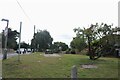
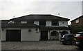
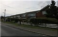
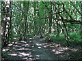
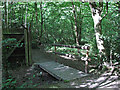
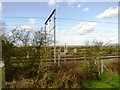
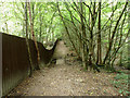

16 photos from this area
Area Information
Key information about the SS5 4FS including its size, population, and administrative classification.
- Area Type
- Postcode
- Area Size
- 2.0 hectares
- Population
- 2316
- Population Density
- 510 people/km²
House Prices in SS5 4FS
51
Properties
£493,111
Average Sold Price
£328,000
Lowest Price
£650,000
Highest Price
Showing 51 properties
| Address | Type | Beds | Baths | Last Sale Price | Last Sale Date | |
|---|---|---|---|---|---|---|
| 81 Pond Chase, Hockley, SS5 4FS | Detached | 4 | 2 | £570,000 | Aug 2025 | |
| 95 Pond Chase, Hockley, SS5 4FS | Semi-detached | 2 | 2 | £355,000 | Aug 2024 | |
| 99 Pond Chase, Hockley, SS5 4FS | Retail | 4 | 2 | £465,000 | Jun 2022 | |
| 71 Pond Chase, Hockley, SS5 4FS | house | - | - | £650,000 | Jun 2021 | |
| 87 Pond Chase, Hockley, SS5 4FS | Terraced | 3 | 1 | £328,000 | Sep 2019 | |
| 89 Pond Chase, Hockley, SS5 4FS | house | - | - | £365,000 | Jun 2019 | |
| 83 Pond Chase, Hockley, SS5 4FS | house | - | - | £510,000 | Dec 2018 | |
| 79 Pond Chase, Hockley, SS5 4FS | house | - | - | £585,000 | Dec 2018 | |
| 77 Pond Chase, Hockley, SS5 4FS | Detached | 5 | 3 | £610,000 | Nov 2018 | |
| 65 Pond Chase, Hockley, SS5 4FS | Semi-detached | 5 | 2 | - | - |
Page 1 of 6
Energy Efficiency in SS5 4FS
Amenities
Schools
| Rank | School | Type | Entry gender | Ages |
|---|
Explore more schools in this area
Go to Schools tabDemographics
Household Size
Family (3-5 people)
most common
Accommodation Type
Houses
most common
Tenure
92
majority
Ethnic Group
White
most common
Religion
N/A
most common
Household Composition
N/A
most common
Age
47
median
Adults (30-64 years)
most common
Household Deprivation
N/A
with no deprivation
NS-SEC
44
in Lower managerial occupations
Explore more demographic insights in this area
Go to Demographics tabPlanning
Planning Constraints
- Flood RiskPremium
- Ramsar Wetland SitesPremium
- Area of Outstanding Natural BeautyPremium
- Protected Nature ReservePremium
- Protected WoodlandPremium