Area Overview for SS4 3EZ
Photos of SS4 3EZ
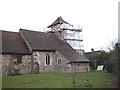
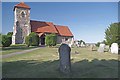
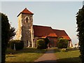
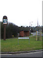
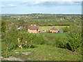
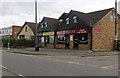
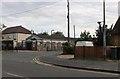
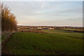
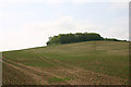
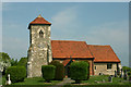
31 photos from this area
Area Information
Key information about the SS4 3EZ including its size, population, and administrative classification.
- Area Type
- Postcode
- Area Size
- 2.0 hectares
- Population
- 1229
- Population Density
- 5419 people/km²
House Prices in SS4 3EZ
36
Properties
£279,094
Average Sold Price
£60,000
Lowest Price
£440,000
Highest Price
Showing 36 properties
| Address | Type | Beds | Baths | Last Sale Price | Last Sale Date | |
|---|---|---|---|---|---|---|
| 56 Albert Road, Ashingdon, SS4 3EZ | house | - | - | £352,000 | Sep 2021 | |
| 58 Albert Road, Ashingdon, SS4 3EZ | house | - | - | £305,000 | Aug 2020 | |
| 32A Albert Road, Ashingdon, SS4 3EZ | Detached | 4 | - | £430,000 | Sep 2019 | |
| Bellvue, 38A Albert Road, Ashingdon, SS4 3EZ | Detached | 4 | 2 | £440,000 | Apr 2019 | |
| 40A Albert Road, Ashingdon, SS4 3EZ | Detached | 3 | 1 | £270,000 | Nov 2018 | |
| 40 Albert Road, Ashingdon, SS4 3EZ | Bungalow | 4 | 2 | £375,000 | Jul 2018 | |
| 20 Albert Road, Ashingdon, SS4 3EZ | Bungalow | 3 | - | £410,000 | Oct 2017 | |
| 52 Albert Road, Ashingdon, SS4 3EZ | Semi-detached | 2 | - | £227,500 | Mar 2015 | |
| 54 Albert Road, Ashingdon, SS4 3EZ | Bungalow | 4 | - | £265,000 | May 2012 | |
| The Oaks, 64 Albert Road, Ashingdon, SS4 3EZ | house | 5 | - | £393,500 | Jul 2010 |
Page 1 of 4
Energy Efficiency in SS4 3EZ
Amenities
Schools
| Rank | School | Type | Entry gender | Ages |
|---|
Explore more schools in this area
Go to Schools tabDemographics
Household Size
Two person
most common
Accommodation Type
Houses
most common
Tenure
94
majority
Ethnic Group
White
most common
Religion
N/A
most common
Household Composition
N/A
most common
Age
47
median
Adults (30-64 years)
most common
Household Deprivation
N/A
with no deprivation
NS-SEC
35
in Lower managerial occupations
Explore more demographic insights in this area
Go to Demographics tabPlanning
Planning Constraints
- Flood RiskPremium
- Ramsar Wetland SitesPremium
- Area of Outstanding Natural BeautyPremium
- Protected Nature ReservePremium
- Protected WoodlandPremium