Area Overview for SS4 1DT
Photos of SS4 1DT
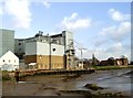
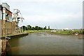
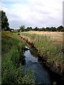
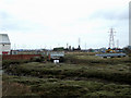
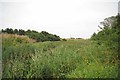
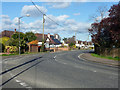
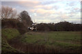
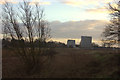
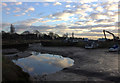
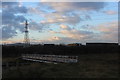
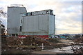
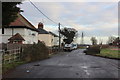
36 photos from this area
Area Information
Key information about the SS4 1DT including its size, population, and administrative classification.
- Area Type
- Postcode
- Area Size
- 5.4 hectares
- Population
- 1357
- Population Density
- 35 people/km²
House Prices in SS4 1DT
25
Properties
£418,406
Average Sold Price
£105,000
Lowest Price
£845,000
Highest Price
Showing 25 properties
| Address | Type | Beds | Baths | Last Sale Price | Last Sale Date | |
|---|---|---|---|---|---|---|
| 154 Stambridge Road, Rochford, SS4 1DT | house | 5 | 4 | £790,000 | Feb 2025 | |
| 135 Stambridge Road, Rochford, SS4 1DT | Bungalow | 3 | 1 | £425,000 | Jul 2024 | |
| 129 Stambridge Road, Rochford, SS4 1DT | Bungalow | 7 | 4 | £585,000 | Nov 2022 | |
| 159 Stambridge Road, Rochford, SS4 1DT | Retail | 3 | - | £500,000 | Feb 2022 | |
| 145 Stambridge Road, Rochford, SS4 1DT | Semi-detached | 3 | - | £415,000 | Jan 2022 | |
| 165 Stambridge Road, Rochford, SS4 1DT | Detached | 4 | 2 | £365,000 | Feb 2016 | |
| Richmonds, Stambridge Road, Rochford, SS4 1DT | Detached | 6 | - | £700,000 | Jan 2016 | |
| High Green Manor, 148 Stambridge Road, Rochford, SS4 1DT | house | 4 | - | £775,000 | Apr 2015 | |
| 149 Stambridge Road, Rochford, SS4 1DT | Semi-detached | 2 | - | £200,000 | Aug 2013 | |
| 147 Stambridge Road, Rochford, SS4 1DT | Semi-detached | 3 | - | £193,000 | Jun 2012 |
Page 1 of 3
Energy Efficiency in SS4 1DT
Amenities
Schools
| Rank | School | Type | Entry gender | Ages |
|---|
Explore more schools in this area
Go to Schools tabDemographics
Household Size
Two person
most common
Accommodation Type
Houses
most common
Tenure
73
majority
Ethnic Group
White
most common
Religion
N/A
most common
Household Composition
N/A
most common
Age
47
median
Adults (30-64 years)
most common
Household Deprivation
N/A
with no deprivation
NS-SEC
32
in Lower managerial occupations
Explore more demographic insights in this area
Go to Demographics tabPlanning
Planning Constraints
- Flood RiskPremium
- Ramsar Wetland SitesPremium
- Area of Outstanding Natural BeautyPremium
- Protected Nature ReservePremium
- Protected WoodlandPremium