Area Overview for SS2 6JY
Photos of SS2 6JY
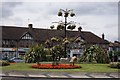
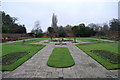
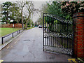
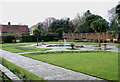

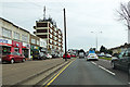
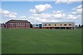
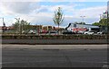
39 photos from this area
Area Information
Key information about the SS2 6JY including its size, population, and administrative classification.
- Area Type
- Postcode
- Area Size
- 6.5 hectares
- Population
- 1979
- Population Density
- 3670 people/km²
House Prices in SS2 6JY
13
Properties
£338,182
Average Sold Price
£125,000
Lowest Price
£710,000
Highest Price
Showing 13 properties
| Address | Type | Beds | Baths | Last Sale Price | Last Sale Date | |
|---|---|---|---|---|---|---|
| 33 Priory Crescent, Southend On Sea, SS2 6JY | house | - | - | £485,000 | Mar 2024 | |
| 15 Priory Crescent, Southend On Sea, SS2 6JY | Flat | 1 | 1 | £380,000 | Oct 2021 | |
| 27 Priory Crescent, Southend On Sea, SS2 6JY | Detached | 5 | 2 | £710,000 | May 2019 | |
| 35 Priory Crescent, Southend On Sea, SS2 6JY | house | - | - | £375,000 | Sep 2015 | |
| 31 Priory Crescent, Southend On Sea, SS2 6JY | house | - | - | £250,000 | Jun 2011 | |
| 7 Priory Crescent, Southend On Sea, SS2 6JY | Detached | 3 | 2 | £227,500 | May 2009 | |
| 21 Priory Crescent, Southend On Sea, SS2 6JY | Detached | 4 | 2 | £360,000 | Aug 2007 | |
| 29 Priory Crescent, Southend On Sea, SS2 6JY | Semi-detached | 3 | 1 | £195,000 | Jan 2006 | |
| 9 Priory Crescent, Southend On Sea, SS2 6JY | Detached | - | - | £247,500 | Apr 2005 | |
| 23 Priory Crescent, Southend On Sea, SS2 6JY | Detached | - | - | £365,000 | Nov 2004 |
Page 1 of 2
Energy Efficiency in SS2 6JY
Amenities
Schools
| Rank | School | Type | Entry gender | Ages |
|---|
Explore more schools in this area
Go to Schools tabDemographics
Household Size
One person
most common
Accommodation Type
Houses
most common
Tenure
49
majority
Ethnic Group
White
most common
Religion
N/A
most common
Household Composition
N/A
most common
Age
47
median
Adults (30-64 years)
most common
Household Deprivation
N/A
with no deprivation
NS-SEC
30
in Lower managerial occupations
Explore more demographic insights in this area
Go to Demographics tabPlanning
Planning Constraints
- Flood RiskPremium
- Ramsar Wetland SitesPremium
- Area of Outstanding Natural BeautyPremium
- Protected Nature ReservePremium
- Protected WoodlandPremium