Area Overview for SS2 6JS
Photos of SS2 6JS
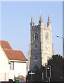
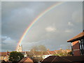
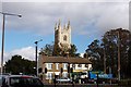
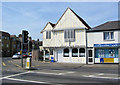

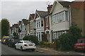
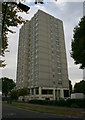
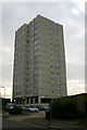
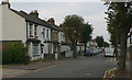
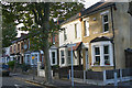
66 photos from this area
Area Information
Key information about the SS2 6JS including its size, population, and administrative classification.
- Area Type
- Postcode
- Area Size
- 1.0 hectares
- Population
- 1979
- Population Density
- 3670 people/km²
House Prices in SS2 6JS
30
Properties
£161,104
Average Sold Price
£29,995
Lowest Price
£385,000
Highest Price
Showing 30 properties
| Address | Type | Beds | Baths | Last Sale Price | Last Sale Date | |
|---|---|---|---|---|---|---|
| 40 St Marys Road, Southend On Sea, SS2 6JS | Semi-detached | 3 | 1 | £275,000 | Mar 2025 | |
| 26 St Marys Road, Southend On Sea, SS2 6JS | Semi-detached | 3 | 1 | £385,000 | May 2023 | |
| 14A St Marys Road, Southend On Sea, SS2 6JS | Flat | - | - | £173,000 | Nov 2021 | |
| 14 St Marys Road, Southend On Sea, SS2 6JS | Detached | 1 | 1 | £160,000 | Jan 2018 | |
| 46 St Marys Road, Southend On Sea, SS2 6JS | Semi-detached | 3 | 1 | £296,000 | Aug 2017 | |
| 20 St Marys Road, Southend On Sea, SS2 6JS | Semi-detached | 3 | 2 | £240,000 | Mar 2016 | |
| 48 St Marys Road, Southend On Sea, SS2 6JS | house | 4 | 1 | £200,000 | Dec 2015 | |
| 30 St Marys Road, Southend On Sea, SS2 6JS | Detached | 3 | 1 | £182,000 | May 2014 | |
| 4 St Marys Road, Southend On Sea, SS2 6JS | Flat | - | - | £120,000 | Nov 2010 | |
| 42 St Marys Road, Southend On Sea, SS2 6JS | house | 3 | 2 | £156,500 | Jan 2009 |
Page 1 of 3
Energy Efficiency in SS2 6JS
Amenities
Schools
| Rank | School | Type | Entry gender | Ages |
|---|
Explore more schools in this area
Go to Schools tabDemographics
Household Size
One person
most common
Accommodation Type
Houses
most common
Tenure
49
majority
Ethnic Group
White
most common
Religion
N/A
most common
Household Composition
N/A
most common
Age
47
median
Adults (30-64 years)
most common
Household Deprivation
N/A
with no deprivation
NS-SEC
30
in Lower managerial occupations
Explore more demographic insights in this area
Go to Demographics tabPlanning
Planning Constraints
- Flood RiskPremium
- Ramsar Wetland SitesPremium
- Area of Outstanding Natural BeautyPremium
- Protected Nature ReservePremium
- Protected WoodlandPremium