Area Overview for SS2 5EE
Photos of SS2 5EE
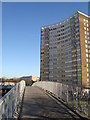
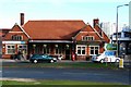
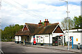
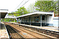
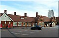
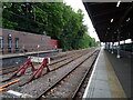
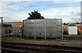
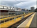
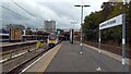
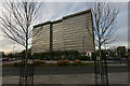
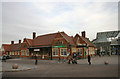
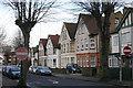
27 photos from this area
Area Information
Key information about the SS2 5EE including its size, population, and administrative classification.
- Area Type
- Postcode
- Area Size
- 1.3 hectares
- Population
- 2080
- Population Density
- 7293 people/km²
House Prices in SS2 5EE
16
Properties
£186,000
Average Sold Price
£152,000
Lowest Price
£220,000
Highest Price
Showing 16 properties
| Address | Type | Beds | Baths | Last Sale Price | Last Sale Date | |
|---|---|---|---|---|---|---|
| 122A East Street, Southend On Sea, SS2 5EE | Flat | - | - | £152,000 | Mar 2024 | |
| 126 East Street, Southend On Sea, SS2 5EE | Flat | 2 | 1 | £220,000 | Mar 2023 | |
| 120A East Street, Southend On Sea, SS2 5EE | Flat | 2 | 1 | - | - | |
| 114B East Street, Southend On Sea, SS2 5EE | Flat | 1 | 1 | - | - | |
| 124 East Street, Southend On Sea, SS2 5EE | Flat | - | - | - | - | |
| 118 East Street, Southend On Sea, SS2 5EE | house | - | - | - | - | |
| 126A East Street, Southend On Sea, SS2 5EE | Flat | - | - | - | - | |
| Flat At, 116 East Street, Southend On Sea, SS2 5EE | Flat | - | - | - | - | |
| 124A East Street, Southend On Sea, SS2 5EE | Flat | - | - | - | - | |
| 128A East Street, Southend On Sea, SS2 5EE | Flat | - | - | - | - |
Page 1 of 2
Energy Efficiency in SS2 5EE
Amenities
Schools
| Rank | School | Type | Entry gender | Ages |
|---|
Explore more schools in this area
Go to Schools tabDemographics
Household Size
Family (3-5 people)
most common
Accommodation Type
Houses
most common
Tenure
51
majority
Ethnic Group
White
most common
Religion
N/A
most common
Household Composition
N/A
most common
Age
47
median
Adults (30-64 years)
most common
Household Deprivation
N/A
with no deprivation
NS-SEC
28
in Lower managerial occupations
Explore more demographic insights in this area
Go to Demographics tabPlanning
Planning Constraints
- Flood RiskPremium
- Ramsar Wetland SitesPremium
- Area of Outstanding Natural BeautyPremium
- Protected Nature ReservePremium
- Protected WoodlandPremium