Area Overview for SS17 8PD
Photos of SS17 8PD
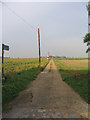


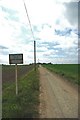
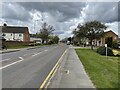
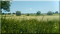
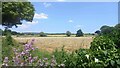
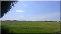
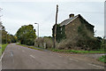


18 photos from this area
Area Information
Key information about the SS17 8PD including its size, population, and administrative classification.
- Area Type
- Postcode
- Area Size
- 37.9 hectares
- Population
- 1473
- Population Density
- 190 people/km²
House Prices in SS17 8PD
21
Properties
£370,912
Average Sold Price
£122,000
Lowest Price
£725,000
Highest Price
Showing 21 properties
| Address | Type | Beds | Baths | Last Sale Price | Last Sale Date | |
|---|---|---|---|---|---|---|
| Homelea, Horndon Road, Horndon On The Hill, SS17 8PD | Semi-detached | - | - | £612,500 | Sep 2022 | |
| Phaedra, Horndon Road, Horndon On The Hill, SS17 8PD | Detached | 4 | 3 | £675,000 | Dec 2018 | |
| Roselyn, Horndon Road, Horndon On The Hill, SS17 8PD | Semi-detached | 3 | 2 | £425,000 | Apr 2018 | |
| The Green House, Horndon Road, Horndon On The Hill, SS17 8PD | Bungalow | 2 | 2 | £360,000 | Nov 2017 | |
| Trees, Horndon Road, Horndon On The Hill, SS17 8PD | Detached | 3 | 2 | £410,000 | Aug 2015 | |
| Haseldene, Horndon Road, Horndon On The Hill, SS17 8PD | house | - | - | £282,000 | Nov 2014 | |
| Junita, Horndon Road, Horndon On The Hill, SS17 8PD | Bungalow | 2 | - | £270,000 | Jul 2014 | |
| Talford, Horndon Road, Horndon On The Hill, SS17 8PD | Bungalow | - | - | £240,000 | May 2013 | |
| Osborne, Horndon Road, Horndon On The Hill, SS17 8PD | Bungalow | 3 | 2 | £330,000 | Mar 2012 | |
| Sable House, Horndon Road, Horndon On The Hill, SS17 8PD | Detached | - | - | £725,000 | Mar 2009 |
Page 1 of 3
Energy Efficiency in SS17 8PD
Amenities
Schools
| Rank | School | Type | Entry gender | Ages |
|---|
Explore more schools in this area
Go to Schools tabDemographics
Household Size
Family (3-5 people)
most common
Accommodation Type
Houses
most common
Tenure
86
majority
Ethnic Group
White
most common
Religion
N/A
most common
Household Composition
N/A
most common
Age
47
median
Adults (30-64 years)
most common
Household Deprivation
N/A
with no deprivation
NS-SEC
37
in Lower managerial occupations
Explore more demographic insights in this area
Go to Demographics tabPlanning
Planning Constraints
- Flood RiskPremium
- Ramsar Wetland SitesPremium
- Area of Outstanding Natural BeautyPremium
- Protected Nature ReservePremium
- Protected WoodlandPremium