Area Overview for SS16 6AS
Photos of SS16 6AS
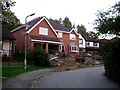
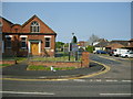
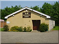
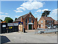
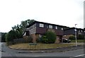
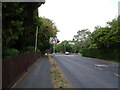
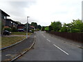
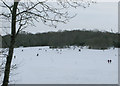
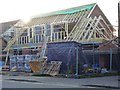
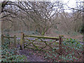
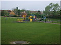
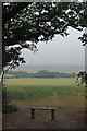
16 photos from this area
Area Information
Key information about the SS16 6AS including its size, population, and administrative classification.
- Area Type
- Postcode
- Area Size
- 9380 m²
- Population
- 1556
- Population Density
- 446 people/km²
House Prices in SS16 6AS
18
Properties
£222,000
Average Sold Price
£50,000
Lowest Price
£349,000
Highest Price
Showing 18 properties
| Address | Type | Beds | Baths | Last Sale Price | Last Sale Date | |
|---|---|---|---|---|---|---|
| 65 Berry Lane, Langdon Hills, Basildon, SS16 6AS | Bungalow | 2 | - | £230,000 | Jan 2014 | |
| 77 Berry Lane, Langdon Hills, Basildon, SS16 6AS | Detached | 3 | 3 | £349,000 | Dec 2006 | |
| 66 Berry Lane, Langdon Hills, Basildon, SS16 6AS | Detached | - | - | £303,000 | Dec 2006 | |
| 70 Berry Lane, Langdon Hills, Basildon, SS16 6AS | Detached | - | - | £178,000 | Apr 2002 | |
| 63 Berry Lane, Langdon Hills, Basildon, SS16 6AS | Detached | - | - | £50,000 | Mar 2001 | |
| 60 Berry Lane, Langdon Hills, Basildon, SS16 6AS | Detached | 4 | 2 | - | - | |
| 58B Berry Lane, Langdon Hills, Basildon, SS16 6AS | Semi-detached | 4 | 2 | - | - | |
| 58A Berry Lane, Langdon Hills, Basildon, SS16 6AS | Semi-detached | - | - | - | - | |
| 58 Berry Lane, Langdon Hills, Basildon, SS16 6AS | undefined | - | - | - | - | |
| 62 Berry Lane, Langdon Hills, Basildon, SS16 6AS | Detached | - | - | - | - |
Page 1 of 2
Energy Efficiency in SS16 6AS
Amenities
Schools
| Rank | School | Type | Entry gender | Ages |
|---|
Explore more schools in this area
Go to Schools tabDemographics
Household Size
Two person
most common
Accommodation Type
Houses
most common
Tenure
90
majority
Ethnic Group
White
most common
Religion
N/A
most common
Household Composition
N/A
most common
Age
47
median
Adults (30-64 years)
most common
Household Deprivation
N/A
with no deprivation
NS-SEC
42
in Lower managerial occupations
Explore more demographic insights in this area
Go to Demographics tabPlanning
Planning Constraints
- Flood RiskPremium
- Ramsar Wetland SitesPremium
- Area of Outstanding Natural BeautyPremium
- Protected Nature ReservePremium
- Protected WoodlandPremium