Area Overview for SS15 6QL
Photos of SS15 6QL

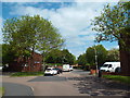
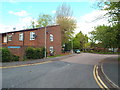
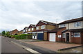
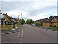
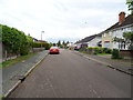
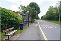
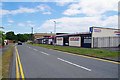
23 photos from this area
Area Information
Key information about the SS15 6QL including its size, population, and administrative classification.
- Area Type
- Postcode
- Area Size
- 1.1 hectares
- Population
- 1515
- Population Density
- 5210 people/km²
House Prices in SS15 6QL
45
Properties
£173,968
Average Sold Price
£49,995
Lowest Price
£305,000
Highest Price
Showing 45 properties
| Address | Type | Beds | Baths | Last Sale Price | Last Sale Date | |
|---|---|---|---|---|---|---|
| 6 Marden Ash, Laindon, Basildon, SS15 6QL | Flat | 1 | 1 | £168,000 | Feb 2025 | |
| 40 Marden Ash, Laindon, Basildon, SS15 6QL | Bungalow | 1 | 1 | £245,000 | Oct 2024 | |
| 34 Marden Ash, Laindon, Basildon, SS15 6QL | Terraced | 3 | 2 | £305,000 | Feb 2022 | |
| 39 Marden Ash, Laindon, Basildon, SS15 6QL | house | - | - | £280,000 | Oct 2020 | |
| 15 Marden Ash, Laindon, Basildon, SS15 6QL | Flat | - | - | £193,000 | Mar 2020 | |
| 16 Marden Ash, Laindon, Basildon, SS15 6QL | Flat | - | - | £200,000 | May 2018 | |
| 10 Marden Ash, Laindon, Basildon, SS15 6QL | Terraced | 3 | 1 | £265,000 | May 2017 | |
| 20 Marden Ash, Laindon, Basildon, SS15 6QL | Bungalow | 1 | - | £115,000 | Sep 2014 | |
| 38 Marden Ash, Laindon, Basildon, SS15 6QL | Terraced | 3 | 1 | £185,000 | Sep 2014 | |
| 46 Marden Ash, Laindon, Basildon, SS15 6QL | house | 4 | - | £150,000 | Aug 2010 |
Page 1 of 5
Energy Efficiency in SS15 6QL
Amenities
Schools
| Rank | School | Type | Entry gender | Ages |
|---|
Explore more schools in this area
Go to Schools tabDemographics
Household Size
One person
most common
Accommodation Type
Houses
most common
Tenure
53
majority
Ethnic Group
White
most common
Religion
N/A
most common
Household Composition
N/A
most common
Age
47
median
Adults (30-64 years)
most common
Household Deprivation
N/A
with no deprivation
NS-SEC
28
in Lower managerial occupations
Explore more demographic insights in this area
Go to Demographics tabPlanning
Planning Constraints
- Flood RiskPremium
- Ramsar Wetland SitesPremium
- Area of Outstanding Natural BeautyPremium
- Protected Nature ReservePremium
- Protected WoodlandPremium