Area Overview for SS15 5HS
Photos of SS15 5HS

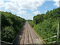
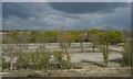
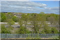
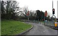
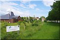
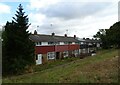
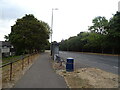

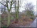
26 photos from this area
Area Information
Key information about the SS15 5HS including its size, population, and administrative classification.
- Area Type
- Postcode
- Area Size
- 1.1 hectares
- Population
- 2189
- Population Density
- 7533 people/km²
House Prices in SS15 5HS
41
Properties
£195,825
Average Sold Price
£43,000
Lowest Price
£332,500
Highest Price
Showing 41 properties
| Address | Type | Beds | Baths | Last Sale Price | Last Sale Date | |
|---|---|---|---|---|---|---|
| 23 Boytons, Basildon, SS15 5HS | Terraced | 3 | 1 | £332,500 | Mar 2025 | |
| 24 Boytons, Basildon, SS15 5HS | Terraced | 2 | 1 | £280,000 | Apr 2024 | |
| 6 Boytons, Basildon, SS15 5HS | house | 2 | 1 | £296,000 | Apr 2022 | |
| 16 Boytons, Basildon, SS15 5HS | house | - | - | £250,000 | Jun 2021 | |
| 7 Boytons, Basildon, SS15 5HS | house | - | - | £262,000 | Oct 2020 | |
| 21 Boytons, Basildon, SS15 5HS | Terraced | 3 | 1 | £250,000 | Oct 2020 | |
| 26 Boytons, Basildon, SS15 5HS | Terraced | 2 | 1 | £240,000 | Jun 2020 | |
| 46 Boytons, Basildon, SS15 5HS | Terraced | 2 | 1 | £237,000 | Feb 2020 | |
| 5 Boytons, Basildon, SS15 5HS | house | - | - | £240,000 | May 2019 | |
| 30 Boytons, Basildon, SS15 5HS | Semi-detached | 2 | 1 | £250,000 | Sep 2018 |
Page 1 of 5
Energy Efficiency in SS15 5HS
Amenities
Schools
| Rank | School | Type | Entry gender | Ages |
|---|
Explore more schools in this area
Go to Schools tabDemographics
Household Size
Family (3-5 people)
most common
Accommodation Type
Houses
most common
Tenure
51
majority
Ethnic Group
White
most common
Religion
N/A
most common
Household Composition
N/A
most common
Age
47
median
Adults (30-64 years)
most common
Household Deprivation
N/A
with no deprivation
NS-SEC
29
in Lower managerial occupations
Explore more demographic insights in this area
Go to Demographics tabPlanning
Planning Constraints
- Flood RiskPremium
- Ramsar Wetland SitesPremium
- Area of Outstanding Natural BeautyPremium
- Protected Nature ReservePremium
- Protected WoodlandPremium