Area Overview for SS14 2DH
Photos of SS14 2DH
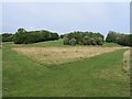
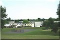
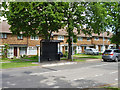
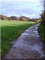
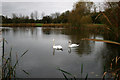
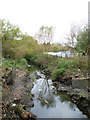
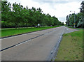
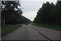

24 photos from this area
Area Information
Key information about the SS14 2DH including its size, population, and administrative classification.
- Area Type
- Postcode
- Area Size
- 7910 m²
- Population
- 2405
- Population Density
- 2280 people/km²
House Prices in SS14 2DH
23
Properties
£191,219
Average Sold Price
£43,000
Lowest Price
£315,000
Highest Price
Showing 23 properties
| Address | Type | Beds | Baths | Last Sale Price | Last Sale Date | |
|---|---|---|---|---|---|---|
| 37 Butneys, Basildon, SS14 2DH | Flat | 2 | 1 | £145,000 | May 2025 | |
| 27 Butneys, Basildon, SS14 2DH | Terraced | 2 | 1 | £280,000 | Mar 2025 | |
| 14 Butneys, Basildon, SS14 2DH | Terraced | 3 | 1 | £310,000 | Apr 2024 | |
| 35 Butneys, Basildon, SS14 2DH | Flat | - | - | £207,000 | Feb 2023 | |
| 6 Butneys, Basildon, SS14 2DH | house | - | - | £315,000 | Dec 2021 | |
| 43 Butneys, Basildon, SS14 2DH | Flat | - | - | £113,000 | Mar 2007 | |
| 15 Butneys, Basildon, SS14 2DH | Terraced | 3 | 1 | £116,750 | Jul 2003 | |
| 10 Butneys, Basildon, SS14 2DH | Terraced | - | - | £43,000 | Jun 1997 | |
| 31 Butneys, Basildon, SS14 2DH | Terraced | 2 | 1 | - | - | |
| 33 Butneys, Basildon, SS14 2DH | Flat | - | - | - | - |
Page 1 of 3
Energy Efficiency in SS14 2DH
Amenities
Schools
| Rank | School | Type | Entry gender | Ages |
|---|
Explore more schools in this area
Go to Schools tabDemographics
Household Size
Family (3-5 people)
most common
Accommodation Type
Houses
most common
Tenure
46
majority
Ethnic Group
White
most common
Religion
N/A
most common
Household Composition
N/A
most common
Age
47
median
Adults (30-64 years)
most common
Household Deprivation
N/A
with no deprivation
NS-SEC
29
in Lower managerial occupations
Explore more demographic insights in this area
Go to Demographics tabPlanning
Planning Constraints
- Flood RiskPremium
- Ramsar Wetland SitesPremium
- Area of Outstanding Natural BeautyPremium
- Protected Nature ReservePremium
- Protected WoodlandPremium