Area Overview for SS14 1TL
Photos of SS14 1TL
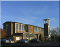
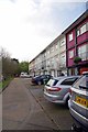
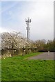
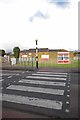
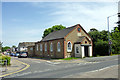
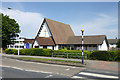
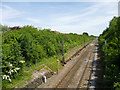

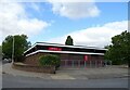

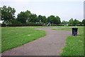
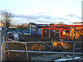
17 photos from this area
Area Information
Key information about the SS14 1TL including its size, population, and administrative classification.
- Area Type
- Postcode
- Area Size
- 5101 m²
- Population
- 1543
- Population Density
- 6034 people/km²
House Prices in SS14 1TL
13
Properties
£238,886
Average Sold Price
£46,000
Lowest Price
£404,000
Highest Price
Showing 13 properties
| Address | Type | Beds | Baths | Last Sale Price | Last Sale Date | |
|---|---|---|---|---|---|---|
| 45 Sandon Road, Basildon, SS14 1TL | Terraced | 3 | 2 | £345,000 | Jan 2025 | |
| 30 Sandon Road, Basildon, SS14 1TL | Bungalow | 2 | 2 | £380,000 | Dec 2021 | |
| 41 Sandon Road, Basildon, SS14 1TL | Semi-detached | 3 | 1 | £257,000 | May 2019 | |
| 32 Sandon Road, Basildon, SS14 1TL | Bungalow | 4 | 1 | £404,000 | Apr 2019 | |
| 43 Sandon Road, Basildon, SS14 1TL | Terraced | 3 | 1 | £187,500 | Apr 2015 | |
| 40 Sandon Road, Basildon, SS14 1TL | Semi-detached | - | - | £52,700 | Nov 2001 | |
| 51 Sandon Road, Basildon, SS14 1TL | house | - | - | £46,000 | Aug 1996 | |
| 47 Sandon Road, Basildon, SS14 1TL | Terraced | - | - | - | - | |
| 53 Sandon Road, Basildon, SS14 1TL | house | - | - | - | - | |
| 38 Sandon Road, Basildon, SS14 1TL | house | - | - | - | - |
Page 1 of 2
Energy Efficiency in SS14 1TL
Amenities
Schools
| Rank | School | Type | Entry gender | Ages |
|---|
Explore more schools in this area
Go to Schools tabDemographics
Household Size
Family (3-5 people)
most common
Accommodation Type
Houses
most common
Tenure
60
majority
Ethnic Group
White
most common
Religion
N/A
most common
Household Composition
N/A
most common
Age
47
median
Adults (30-64 years)
most common
Household Deprivation
N/A
with no deprivation
NS-SEC
20
in Lower managerial occupations
Explore more demographic insights in this area
Go to Demographics tabPlanning
Planning Constraints
- Flood RiskPremium
- Ramsar Wetland SitesPremium
- Area of Outstanding Natural BeautyPremium
- Protected Nature ReservePremium
- Protected WoodlandPremium