Area Overview for SS14 1NX
Photos of SS14 1NX
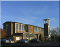
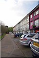
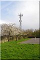
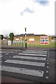
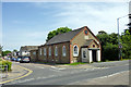
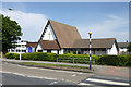
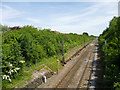

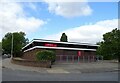

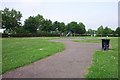
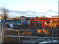
17 photos from this area
Area Information
Key information about the SS14 1NX including its size, population, and administrative classification.
- Area Type
- Postcode
- Area Size
- 8754 m²
- Population
- 1628
- Population Density
- 6032 people/km²
House Prices in SS14 1NX
11
Properties
£203,000
Average Sold Price
£114,000
Lowest Price
£330,000
Highest Price
Showing 11 properties
| Address | Type | Beds | Baths | Last Sale Price | Last Sale Date | |
|---|---|---|---|---|---|---|
| 273 Timberlog Lane, Basildon, SS14 1NX | house | - | - | £330,000 | Apr 2022 | |
| 275 Timberlog Lane, Basildon, SS14 1NX | Terraced | 2 | 1 | £216,500 | Oct 2017 | |
| 291 Timberlog Lane, Basildon, SS14 1NX | Terraced | 2 | 1 | £241,000 | Jul 2017 | |
| 289 Timberlog Lane, Basildon, SS14 1NX | Terraced | 2 | 1 | £172,500 | Apr 2015 | |
| 281 Timberlog Lane, Basildon, SS14 1NX | house | - | - | £144,000 | Apr 2013 | |
| 277 Timberlog Lane, Basildon, SS14 1NX | Detached | - | - | £114,000 | Dec 2005 | |
| 287 Timberlog Lane, Basildon, SS14 1NX | Terraced | 2 | 1 | - | - | |
| 285 Timberlog Lane, Basildon, SS14 1NX | house | - | - | - | - | |
| 271 Timberlog Lane, Basildon, SS14 1NX | Terraced | - | - | - | - | |
| 283 Timberlog Lane, Basildon, SS14 1NX | Terraced | - | - | - | - |
Page 1 of 2
Energy Efficiency in SS14 1NX
Amenities
Schools
| Rank | School | Type | Entry gender | Ages |
|---|
Explore more schools in this area
Go to Schools tabDemographics
Household Size
Family (3-5 people)
most common
Accommodation Type
Houses
most common
Tenure
48
majority
Ethnic Group
White
most common
Religion
N/A
most common
Household Composition
N/A
most common
Age
47
median
Adults (30-64 years)
most common
Household Deprivation
N/A
with no deprivation
NS-SEC
21
in Lower managerial occupations
Explore more demographic insights in this area
Go to Demographics tabPlanning
Planning Constraints
- Flood RiskPremium
- Ramsar Wetland SitesPremium
- Area of Outstanding Natural BeautyPremium
- Protected Nature ReservePremium
- Protected WoodlandPremium