Area Overview for SS13 3BD
Photos of SS13 3BD
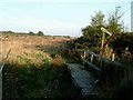
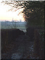
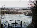
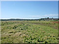
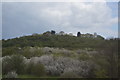
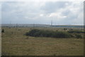
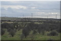
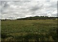
32 photos from this area
Area Information
Key information about the SS13 3BD including its size, population, and administrative classification.
- Area Type
- Postcode
- Area Size
- 17.3 hectares
- Population
- 1339
- Population Density
- 256 people/km²
House Prices in SS13 3BD
42
Properties
£225,222
Average Sold Price
£20,000
Lowest Price
£450,000
Highest Price
Showing 42 properties
| Address | Type | Beds | Baths | Last Sale Price | Last Sale Date | |
|---|---|---|---|---|---|---|
| 18 Brackendale Avenue, Pitsea, SS13 3BD | house | - | - | £380,000 | Sep 2023 | |
| 9 Brackendale Avenue, Pitsea, SS13 3BD | Semi-detached | 4 | 2 | £317,500 | Jul 2023 | |
| 45 Brackendale Avenue, Pitsea, SS13 3BD | Bungalow | - | - | £412,500 | May 2022 | |
| 25 Brackendale Avenue, Pitsea, SS13 3BD | Semi-detached | 1 | 1 | £320,000 | Mar 2022 | |
| 23 Brackendale Avenue, Pitsea, SS13 3BD | Detached | 5 | 3 | £450,000 | Sep 2021 | |
| 19 Brackendale Avenue, Pitsea, SS13 3BD | Bungalow | - | - | £295,000 | Jun 2021 | |
| 34 Brackendale Avenue, Pitsea, SS13 3BD | Detached | 4 | 2 | £331,000 | Oct 2017 | |
| 6 Brackendale Avenue, Pitsea, SS13 3BD | Semi-detached | 4 | 1 | £390,000 | Aug 2017 | |
| 41 Brackendale Avenue, Pitsea, SS13 3BD | Semi-detached | 3 | 1 | £260,000 | Jul 2017 | |
| 13 Brackendale Avenue, Pitsea, SS13 3BD | Semi-detached | 3 | 2 | £310,000 | Jun 2017 |
Page 1 of 5
Energy Efficiency in SS13 3BD
Amenities
Schools
| Rank | School | Type | Entry gender | Ages |
|---|
Explore more schools in this area
Go to Schools tabDemographics
Household Size
One person
most common
Accommodation Type
Houses
most common
Tenure
63
majority
Ethnic Group
White
most common
Religion
N/A
most common
Household Composition
N/A
most common
Age
47
median
Adults (30-64 years)
most common
Household Deprivation
N/A
with no deprivation
NS-SEC
31
in Lower managerial occupations
Explore more demographic insights in this area
Go to Demographics tabPlanning
Planning Constraints
- Flood RiskPremium
- Ramsar Wetland SitesPremium
- Area of Outstanding Natural BeautyPremium
- Protected Nature ReservePremium
- Protected WoodlandPremium