Area Overview for SS13 2HF
Photos of SS13 2HF
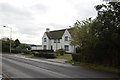
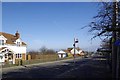
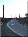
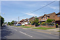

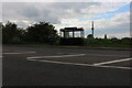
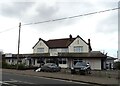
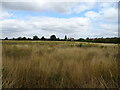
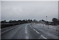
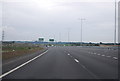
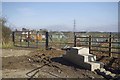
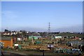
22 photos from this area
Area Information
Key information about the SS13 2HF including its size, population, and administrative classification.
- Area Type
- Postcode
- Area Size
- 3.6 hectares
- Population
- 1466
- Population Density
- 1473 people/km²
House Prices in SS13 2HF
17
Properties
£330,954
Average Sold Price
£99,000
Lowest Price
£640,000
Highest Price
Showing 17 properties
| Address | Type | Beds | Baths | Last Sale Price | Last Sale Date | |
|---|---|---|---|---|---|---|
| 4 Pound Lane, Bowers Gifford, Basildon, SS13 2HF | Detached | 4 | 2 | £640,000 | Oct 2025 | |
| 40 Pound Lane, Bowers Gifford, Basildon, SS13 2HF | Detached | 4 | 1 | £400,000 | Apr 2024 | |
| Geddes Fire Protection Systems, 20 Pound Lane, Bowers Gifford, Basildon, SS13 2HF | Detached | 4 | 2 | £425,000 | Apr 2018 | |
| Cobwebs, 2 Pound Lane, Bowers Gifford, Basildon, SS13 2HF | Detached | 3 | 1 | £282,500 | Sep 2014 | |
| 18 Pound Lane, Bowers Gifford, Basildon, SS13 2HF | Detached | 4 | - | £442,000 | Mar 2014 | |
| 16 Pound Lane, Bowers Gifford, Basildon, SS13 2HF | Bungalow | - | - | £324,000 | Aug 2013 | |
| 6 Pound Lane, Bowers Gifford, Basildon, SS13 2HF | Bungalow | 3 | - | £246,500 | Jun 2011 | |
| 32 Pound Lane, Bowers Gifford, Basildon, SS13 2HF | Retail | 3 | 2 | £399,995 | Oct 2007 | |
| 28 Pound Lane, Bowers Gifford, Basildon, SS13 2HF | Detached | 4 | 2 | £265,000 | Jun 2003 | |
| 36 Pound Lane, Bowers Gifford, Basildon, SS13 2HF | Detached | 3 | 1 | £99,000 | Nov 2000 |
Page 1 of 2
Energy Efficiency in SS13 2HF
Amenities
Schools
| Rank | School | Type | Entry gender | Ages |
|---|
Explore more schools in this area
Go to Schools tabDemographics
Household Size
Two person
most common
Accommodation Type
Houses
most common
Tenure
91
majority
Ethnic Group
White
most common
Religion
N/A
most common
Household Composition
N/A
most common
Age
47
median
Adults (30-64 years)
most common
Household Deprivation
N/A
with no deprivation
NS-SEC
32
in Lower managerial occupations
Explore more demographic insights in this area
Go to Demographics tabPlanning
Planning Constraints
- Flood RiskPremium
- Ramsar Wetland SitesPremium
- Area of Outstanding Natural BeautyPremium
- Protected Nature ReservePremium
- Protected WoodlandPremium