Area Overview for SS11 8TG
Photos of SS11 8TG
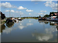
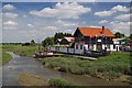
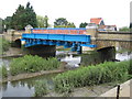
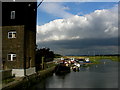
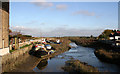
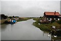
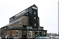
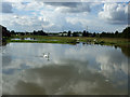
59 photos from this area
Area Information
Key information about the SS11 8TG including its size, population, and administrative classification.
- Area Type
- Postcode
- Area Size
- 11.0 hectares
- Population
- 2193
- Population Density
- 190 people/km²
House Prices in SS11 8TG
8
Properties
£343,333
Average Sold Price
£220,000
Lowest Price
£410,000
Highest Price
Showing 8 properties
| Address | Type | Beds | Baths | Last Sale Price | Last Sale Date | |
|---|---|---|---|---|---|---|
| Little Beeches, Beeches Road, Rawreth, SS11 8TG | Detached | 3 | - | £400,000 | May 2015 | |
| Riverview, Beeches Road, Rawreth, SS11 8TG | Detached | - | - | £410,000 | Jul 2005 | |
| Willow Court, Beeches Road, Rawreth, SS11 8TG | house | - | - | £220,000 | Oct 2000 | |
| Rainbows End, Beeches Road, Rawreth, SS11 8TG | Farm | - | - | - | - | |
| The Stables, Box Tree Nursery, Beeches Road, Rawreth, SS11 8TG | Detached | - | - | - | - | |
| Blossom Lodge, Beeches Road, Rawreth, SS11 8TG | Mobile Home | - | - | - | - | |
| Workshop, Rainbows End, Beeches Road, Rawreth, SS11 8TG | Industrial | - | - | - | - | |
| Spring Tide, Beeches Road, Rawreth, SS11 8TG | Detached | - | - | - | - |
Energy Efficiency in SS11 8TG
Amenities
Schools
| Rank | School | Type | Entry gender | Ages |
|---|
Explore more schools in this area
Go to Schools tabDemographics
Household Size
Family (3-5 people)
most common
Accommodation Type
Houses
most common
Tenure
80
majority
Ethnic Group
White
most common
Religion
N/A
most common
Household Composition
N/A
most common
Age
47
median
Adults (30-64 years)
most common
Household Deprivation
N/A
with no deprivation
NS-SEC
40
in Lower managerial occupations
Explore more demographic insights in this area
Go to Demographics tabPlanning
Planning Constraints
- Flood RiskPremium
- Ramsar Wetland SitesPremium
- Area of Outstanding Natural BeautyPremium
- Protected Nature ReservePremium
- Protected WoodlandPremium